-
 Hydraulic and hydrological risk
Flood warning system
Description
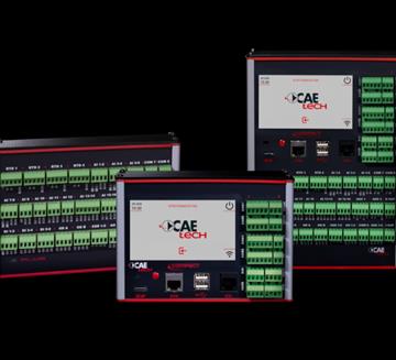
The flood warning system allow collecting information about river and precipitation conditions, i.e. all those events that have a direct impact on their conditions. Data collection and transmission are ensured regardless of the speed and intensity of the event, due to the redundancy of transmission devices included in the system and the reliability of the sensors being used. Furthermore, by studying the evolution of past events and by applying forecast models, potential risk scenarios can be identified and therefore a valid information technology support can be provided to manage and examine the flood and any alerts properly.
main measurements
- Rain intensity and accumulation
- Hydrometric level
- River flow rate
- Surface speed of the water body
Case history

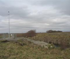
ARGENTINA PROVINCE OF BUENOS AIRES
The network is used for the real-time monitoring of an area subject to sudden and disrupting floods, allowing timely and accurate alerts to population. continue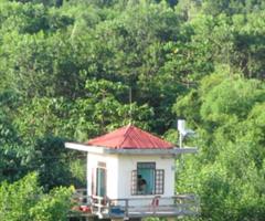
CENTRAL VIETNAM
The Central Provinces of Vietnam, dislocated North and South of the coastal city of Da Nang, are periodically hit by heavy rains that, given the orography of the area, causing flash floods continue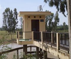
SOUTH VIETNAM
The monitoring network system created in the Southern Vietnam was financed by the World Bank to enforce and implement a system that could prevent flooding of the Mekong Delta. continue
AOSTA VALLEY REGION
Adapting the entire meteo-hydrographic network to the most modern data acquisition and transmission technologies... continue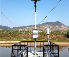
CENTRAL HIGHLANDS OF VIETNAM
Vietnam Managing Natural Hazards Project (VN-Haz) is a project funded by the World Bank that aims at increasing the resilience of the population and of the local economy continue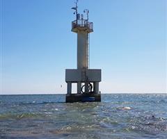
SOUTH-CENTRAL VIETNAM
Floods in Vietnam represent a constant threat that occur throughout the year in different areas of the Country, affect the safety and well-being of the population... continue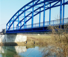
REPUBLIC HYDROMETEOROLOGICAL SERVICE OF SERBIA
In July 2019, Italian technology has been chosen to implement the new Hydrological and UHF Communication Network in Serbia... continue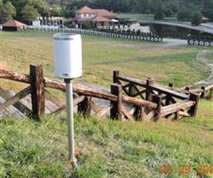
CITY OF BELGRADE
Belgrade is the largest urban settlement in the Republic of Serbia, as well as its administrative and commercial centre. In May 2014, the city suffered substantial damage... continue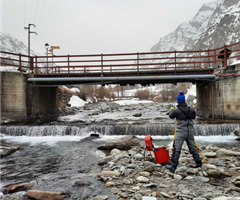
AOSTA VALLEY REGION
CAE confirmed its professionalism in field surveys and environmental analysis, within the contract Service for the riverbed liquid discharge measurement in the Autonomous Region of Aosta Valley continue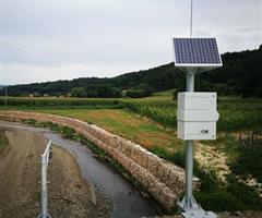
CITY OF UŽICE, SERBIA
CAE and its partner implemented the Early Warning System for the City of Užice, consisting of different types of stations and specialized software in response to the probability of flood occurrence in Užice. continue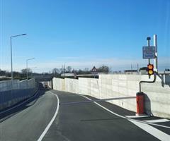
MUNICIPALITY OF BATTIPAGLIA
On behalf of GBL Costruzioni SUD srl, CAE installed a monitoring and early warning system for a new railway underpass in the Municipality of Battipaglia, which will be useful for inhibiting circulation if flooding. continue
EASTERN ALPS BASIN DISTRICT AUTHORITY
The creation of the hydro-thermo-pluviometric monitoring network and the platform will allow the implementation and management of the Citizen’s Observatory on the Brenta-Bacchiglione... continue
CAMPANIA REGION
Following ANAC Guideline No. 8, which promotes overcoming technological lock-in in environmental monitoring, the Campania Region launched a tender to modernize its regional network. Awarded to CAE, the project replaced proprietary systems with interoperable, open-standard technologies.… continue
SICILY REGION
In recent years, Sicily has been facing a major water emergency, threatening water availability for the population as well as for agricultural and livestock activities. CAE has been awarded the tender promoted by the Regional Department for Water and Waste… continue
Transmission System
- GSM/GPRS
- Radio Transmission
- Satellite Transmission
- WSN - W-Master & W-Point
- RÆVO – IP Radio modem
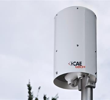
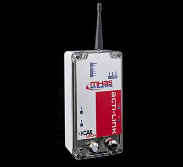
- ACTI-Link
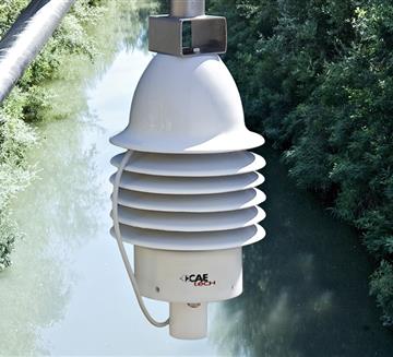
Level Sensors
- Pressure Hydrometer
- Piezometer PLM
- ULM20 - Ultrasonic hydrometer
- ULM30 - Ultrasonic water level sensor
- LPR - Radar Water Level Sensor
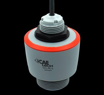
- WLR - Water Level Radar
Customers


