-
 ARGENTINA PROVINCE OF BUENOS AIRESCase history
ARGENTINA PROVINCE OF BUENOS AIRES
A real-time hydrometeorological monitoring network for the province of Buenos Aires
REQUIREMENTS
The final beneficiary of the hydrometeorological monitoring network installed by CAE is the Institute for Flat Lands Hydrology (Instituto de Hidrologia de llanura – HILLA), declared by UNESCO in 2003 the “reference Centre for Flat Lands Hydrology in Latin America and the Caribbean”. The network is used for the real-time monitoring of an area subject to sudden and disrupting floods, allowing timely and accurate alerts to population.
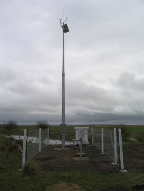
COMPOSITION
CAE installed in Argentina a network for the observation and the real-time acquisition of hydrological, meteorological and agronomic data, to be used for flood management in the province of Buenos Aires.
CHARACTERISTICS
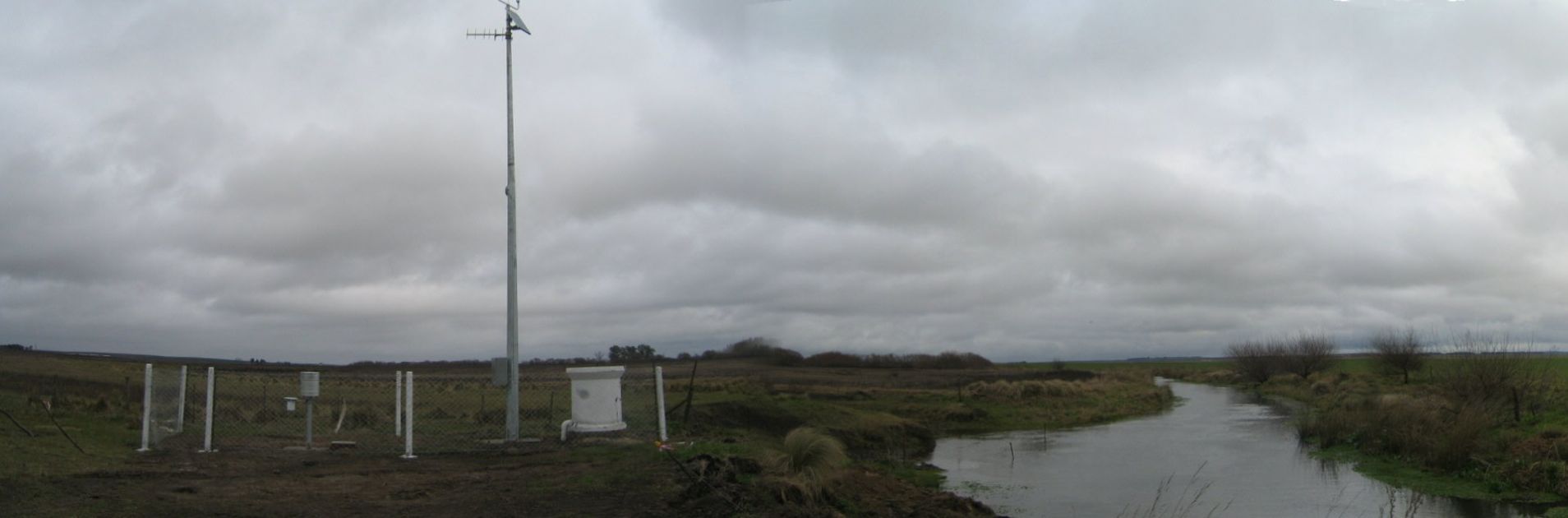
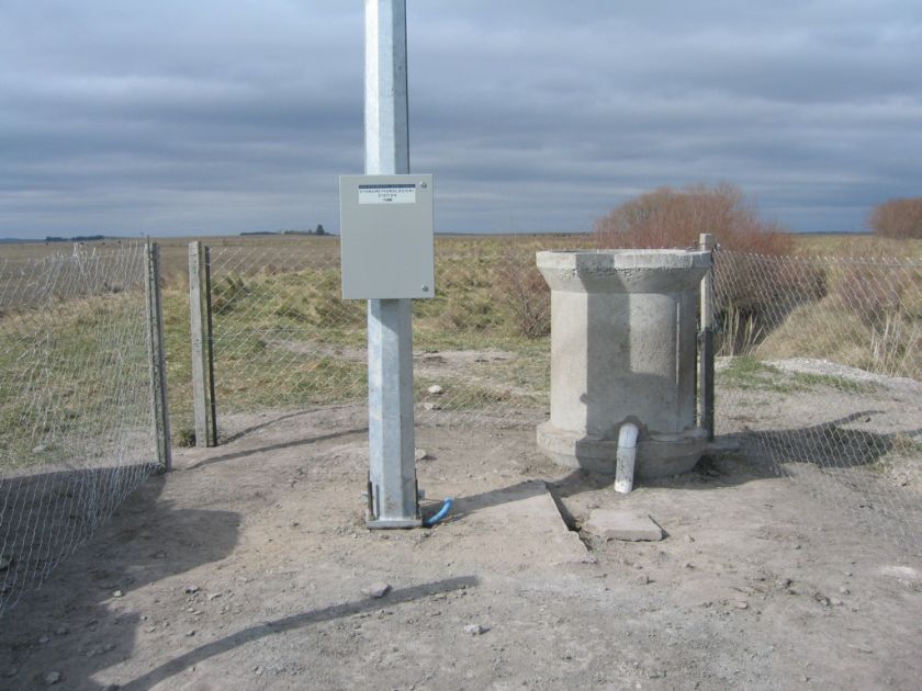
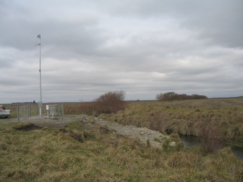
The network is composed by CAE SPM 20 stations, to monitor hydrology, rain and other key meteorological parameters.
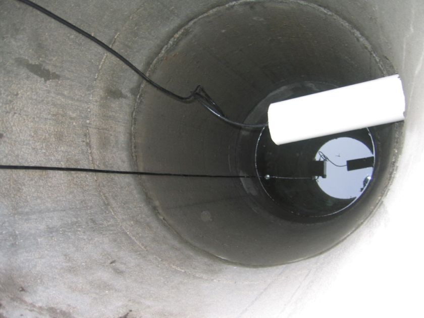
It includes 6 meteorological stations, 4 of which are also equipped with pressure hydrometers to monitor water level in rivers.
The stations are real-time connected to a primary Control Centre, where data are acquired through CAE “Mercury” software. Transmission is made by a UHF radio bridge supplied by CAE. Data are thereafter transmitted to a subsidiary center, to be visualized in the offices of the Municipality. CAE is also in charge for technical assistance services and the remote maintenance, both in field and the control centers.
Intense rains are recurrent phenomena in this area of Argentina, producing floods that almost every year hit severely the Country. Data sourced from CAE network are received by the Municipality of Azul, which is playing an essential role for the management of emergencies in case of heavy storms, being in charge for the emission of alarms to population and, in most serious cases, the evacuation of people.