-
 CENTRAL HIGHLANDS OF VIETNAMCase history
CENTRAL HIGHLANDS OF VIETNAM
Real-time river discharge measurements and new monitoring stations to prevent and manage floods
REQUIREMENTS
"Vietnam Managing Natural Hazards Project" (VN-Haz) is a project funded by the World Bank that aims at increasing the resilience of the population and of the local economy to natural hazards in specific watersheds and the related administrative areas.
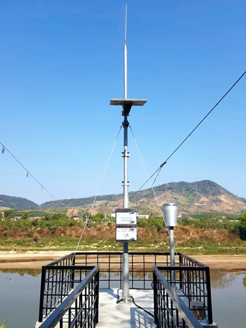
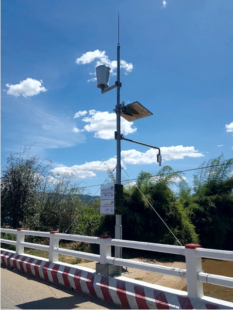
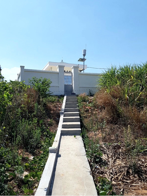
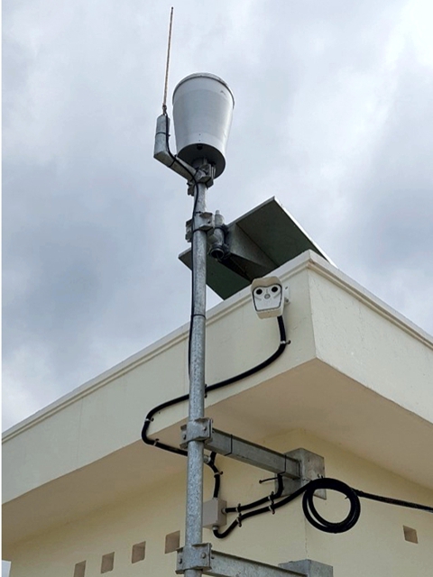
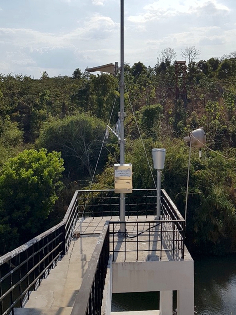
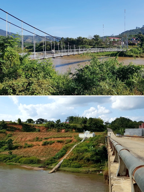
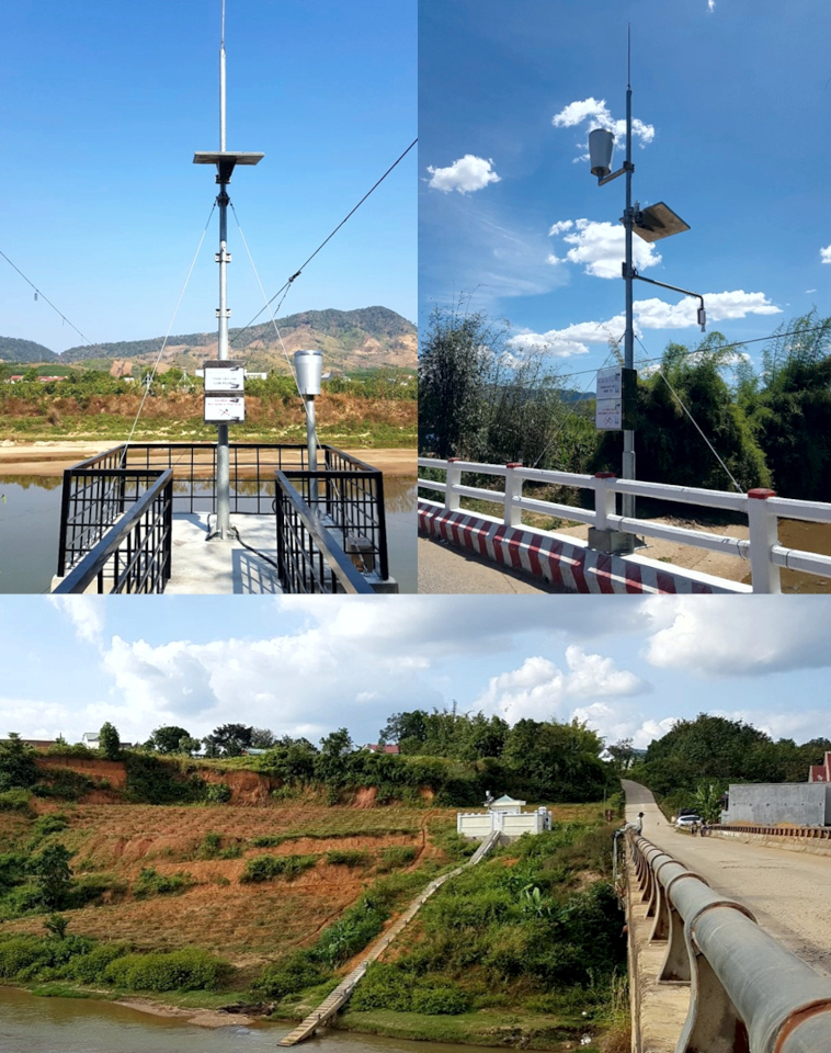
The public call for tenders was directed to Vietnamese firms only and the works were awared to a historical partner in Vietnam of our Italian firm. The works include the supply and installation of 14 new automatic stations equipped with automatic water level sensors and rain gauges, GPRS connected to Central Highlands Hydro-meteorological Regional Centre.
FEATURES
One of the key elements of this project is the establishment of specific Centres dedicated to the management of disasters in each target province; this will strengthen the ability to issue weather bulletins and improve the Early Warning systems. The enhancement of the forecast and early warning systems was implemented by expanding and strengthening the hydrometeorological monitoring network managed by Central Highlands Hydro-meteorological Regional Centre of Vietnam.
This system allows us to:
- measure river discharges in real-time with an improvement in the precision in the detection accuracy;
- recognize the rating curve loop;
- measure water surface speed as a precursor of the flood peak;
- highlight any substantial changes in the geometry of the riverbed in the measurement section;
- perform a correct measurement even in case of solid debris on the bottom of the riverbed;
- monitor the watercourse through the use of images in order to identify any obstruction;
by using a technology which is not in contact with water, we greatly reduced the risk of failure and maintenance needs.
COMPOSITION
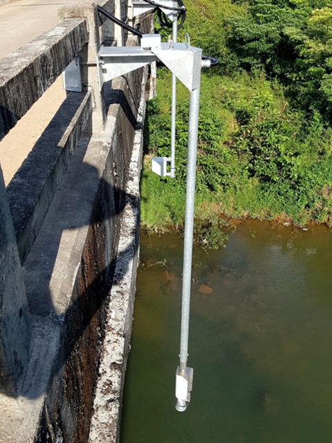
8 of these new 14 installations are equipped with a water surface speed sensor, a camera and a water temperature sensor.
Apart from increasing the number of measurement points, this implementation allow us to export to Vietnam for the first time some of the latest technologies developed by CAE, after accurate testing phases.
Specifically, a system for calculating real-time river discharges and image monitoring is implemented in various areas in Vietnam.
After an initial calibration of site-specific parameters, it's possible to estimate the average speed of the water flow across the measurement section, starting from the surface speed data, obtained by using a radar sensor, as well as to combine them with the wet area for each hydrometric level measured. The result is a reliable real-time river discharge measurement.