-
 SOUTH VIETNAMCase history
SOUTH VIETNAM
Hydro-meteorological monitoring network of the Mekong river delta
REQUIREMENTS
The monitoring network system created in the Southern Vietnam was financed by the World Bank to enforce and implement a system that could prevent flooding of the Mekong Delta.
The project beneficiary is the National Hydro Meteorological Service of Vietnam. The system created has provide the National Service with a network that helps monitoring floods caused by the widest river in Indo-China region, alerts the population in case of danger and optimize irrigation and aquaculture.
COMPOSITION
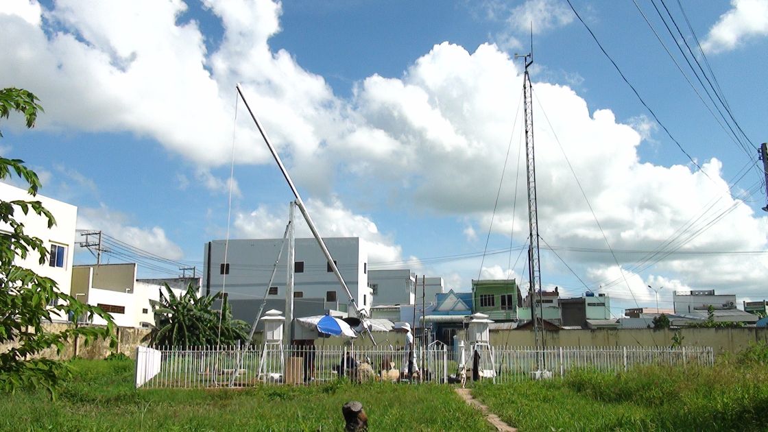
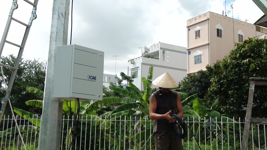
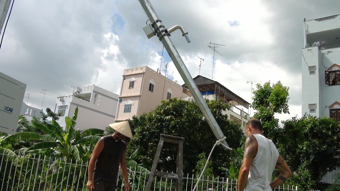
This system was completed in 2012 and is formed by 101 automatic monitoring stations at twin communication system (GPRS and Satellite). It also includes 13 provincial control centers and 1 main regional data center (the Southern Regional Hydro-Meteorological Centre of HCMC) for operation management, data visualization and hydrometric level forecast processing.
CHARACTERISTICS
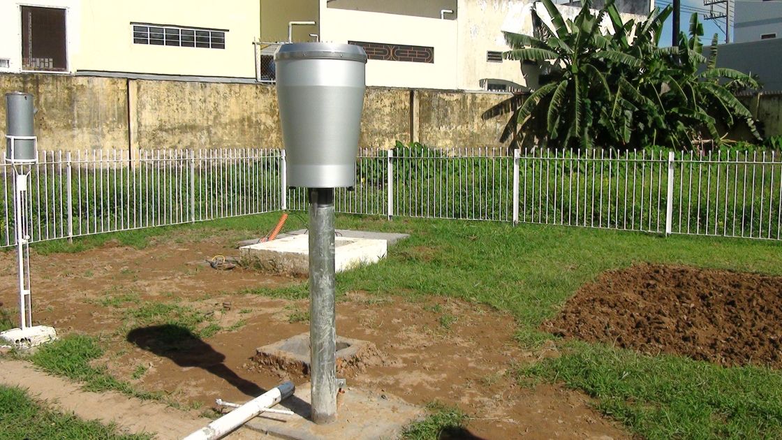
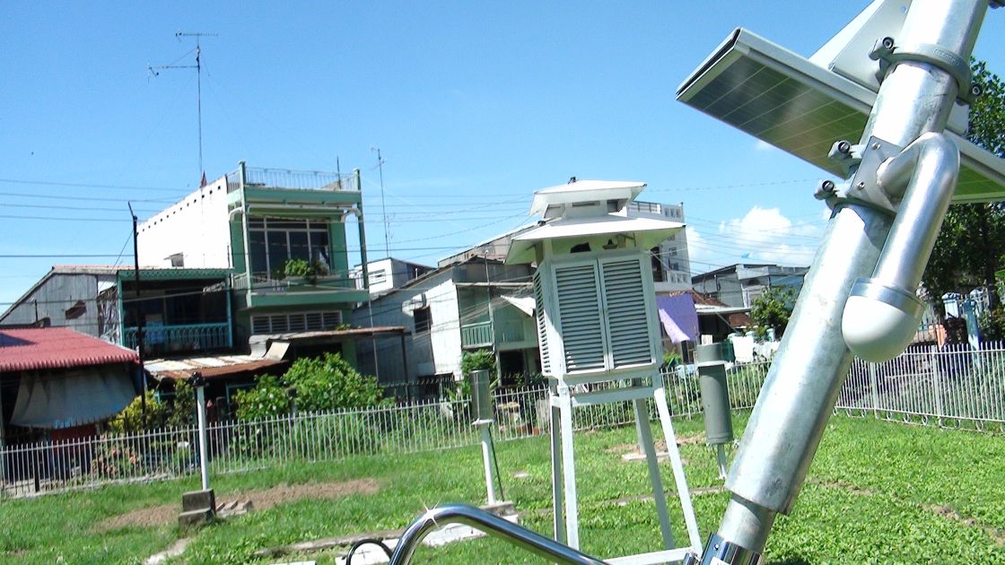
The 13 provincial stations measure water level, rainfall and main meteorological parameters.
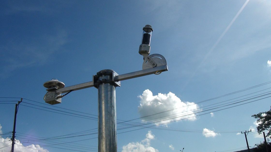
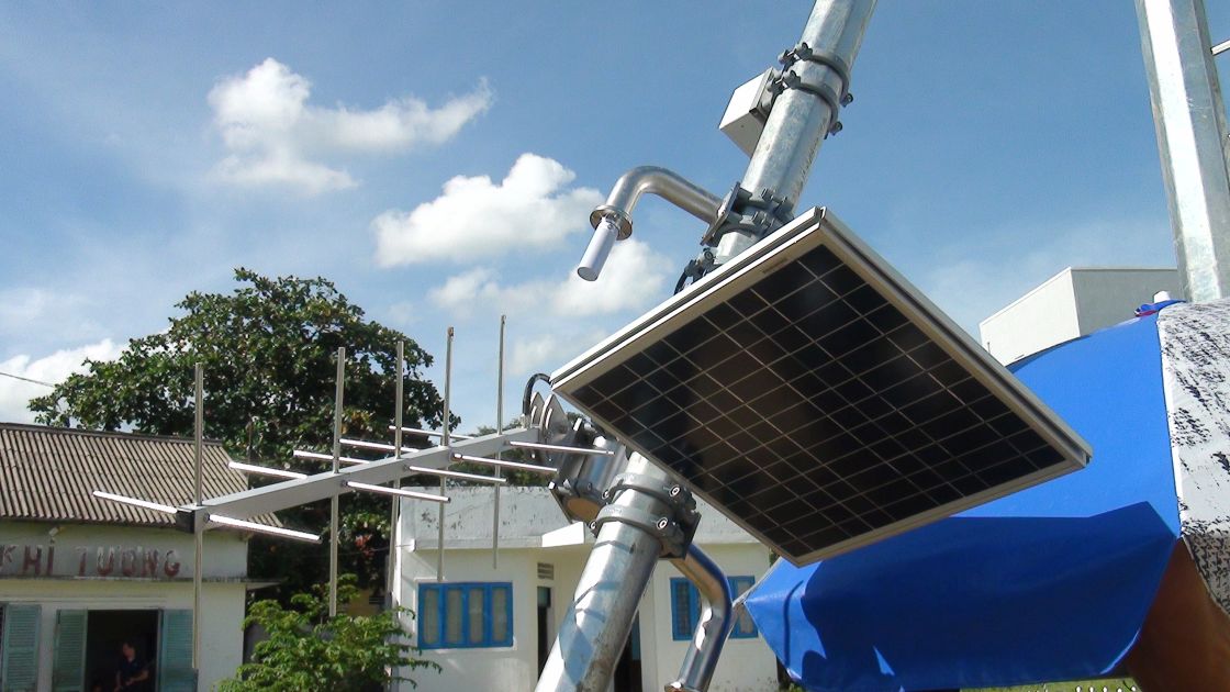
The technology used is CAE SPM20. All stations are connected in real-time to the main data acquisition center based on CAE system (Mercurio), located in Ho Chi Minh City. Here the data is re-distributed to the 13 provincial stations.
The double communication system is 100% reliable, especially in extreme weather conditions. With this scope in mind, CAE hires and trains local employees, as well as servicing and maintaining the equipment in the fields and in the main station.
Every year, with the monsoon season, river Mekong floods and inundates cities and villages, damaging communication channels, rice pads irrigation and polluting drinking water reservoir, fundamental elements of the Vietnamese population sustainment.
For the reasons listed above, the network implemented by CAE is of enormous importance for Vietnam in terms of prevention, prevision, mitigation, adaptation and flooding control.

.jpg)