-
 Geological and Hydrogeological risk
Rockfall monitoring
Description
Mountain slopes can be characterised by deep fractures which may cause rock falls after events such as intense precipitation, earthquakes, ice between the cracks melting, etc. These events can cause damage to people and infrastructure and, at times, can isolate entire inhabited areas. For this reason, using monitoring systems is vital to monitor weather parameters that may have an impact on the stability of the slope and the conditions of these deformations both on the surface and deep in the ground, especially when deformations are structural.
main measurements
- Structural deformation
- Surface and deep deformation
- Weather parameters
Case history

CIVIL DEFENSE OF ABRUZZO
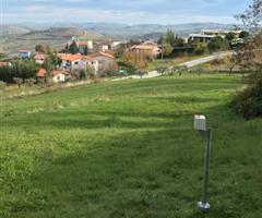
On February 12, 2017, an extensive landslide occurred in the hamlet of Ponzano (Civitella del Tronto). The instability resulted from the effects on the ground... continue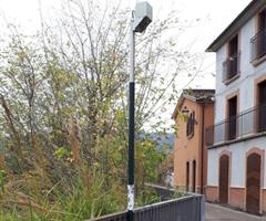
CIVIL DEFENCE of ABRUZZO
In February 2017, a landslide occurred in the Municipality of Castelnuovo di Campli, in the province of Teramo, with caused the collapse along the stream Siccagno continue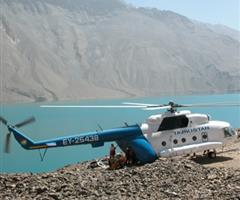
REPUBLIC OF TAJIKISTAN
Within the framework of the Lake Sarez Risk Mitigation Project (LSRMP), CAE and its local partner supplied and installed the new monitoring and Early Warning Systems (EWS) for Sarez Lake, Tajikistan. continue
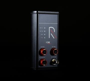
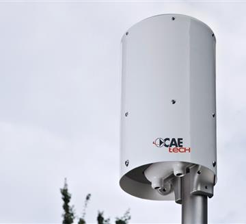
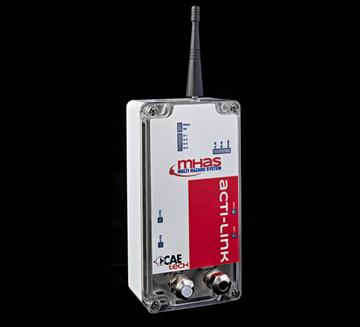
Transmission System
- GSM/GPRS
- Radio Transmission
- Satellite Transmission
- WSN - W-Master & W-Point
- RÆVO – IP Radio modem
- ACTI-Link
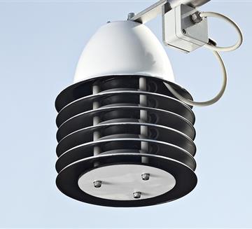
Other Sensors
- Anemometer VV20 and DV20
- Inclinometer
- Biaxial Tilt
- Extensometer
- Wire Crackmeters
- Crackmeter
- Geophone
- Thermo-Hygrometer TU20
- THS Thermo-Hygrometer
Customers


