-
 Geological and Hydrogeological risk
Monitoring rotational and translational slides
Description
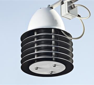
By means of automatic monitoring systems, the most significant geotechnical and weather parameters for the stability of landslide fronts can be monitored remotely, continuously and in real time, by means of wireless stations and other devices located on the landslide. These systems allow analysing current movements and understanding the evolution of the most significant parameters, such as the sloping profiles of the landslide body, the water table levels and the structural deformation. One of the strengths of the CAE offer is the massive use of ultra low consumption wireless devices which can be configured in a Mesh type network. Data and pictures can always be viewed remotely, to assess any risks due to the evolution of the instability, allowing a timely activation of civil defense plans when necessary.

main measurements
- Structural deformation
- Rain intensity and accumulation
- Water table level
- Interstitial pressure
- Deep and superficial movements
Case history

CALABRIA REGION
Following the landslide on the night of 1 st of February 2011, the Civil Protection of Calabria region has decided to install CAE landslide monitoring system to help managing the supervision of the area continue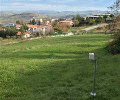
CIVIL DEFENSE OF ABRUZZO
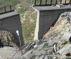
On February 12, 2017, an extensive landslide occurred in the hamlet of Ponzano (Civitella del Tronto). The instability resulted from the effects on the ground... continue
CIVIL DEFENSE OF MOLISE
After the huge landslide occurred in the Municipality of Civitacampomarano, an automatic monitoring and early warning system in real time has been implemented continue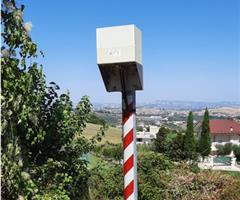
CIVIL DEFENCE OF ABRUZZO
In February 2017, in the Municipality of Civitella del Tronto, and more precisely in the division of Borrano, has been reactivated by an extensive landslide continue
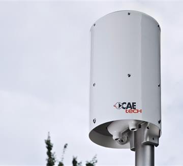
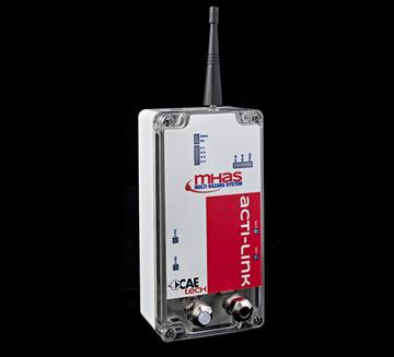
Transmission System
- GSM/GPRS
- Radio Transmission
- Satellite Transmission
- WSN - W-Master & W-Point
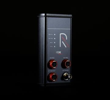
- RÆVO – IP Radio modem
- ACTI-Link
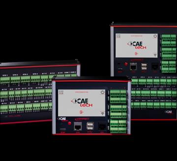
Other Sensors
- Settlement Gauges
- Inclinometer
- Load Cells
- Biaxial Tilt
- Crackmeter
- Full Total Station and GPS
- Thermo-Hygrometer TU20
- THS Thermo-Hygrometer
Customers


