-
 Risk due to extreme weather events
Tidal waves and offshore monitoring
Description
Monitoring on the open sea allows providing useful information for safe navigation. Furthermore, when the instruments are installed on platforms, they are a fundamental support to direct mooring boats or landing and take off of helicopters which allow the open sea structure to be reached. Different types of weather and climate information associated with the conditions of the sky and the sea need to be collected to offer these services. The experience gained by the company in this field allowed it to design solutions suitable for operations under extreme conditions such as off-shore, where salinity and humidity are high. This was possible due to the highly qualified personnel, trained to operate also under these particular conditions.
main measurements
- Height and interval of significant and peak waves
- Cloud coverage and layer heights
- Wind speed and direction
- Rain intensity and accumulation
- Intensity and direction of sea currents
- Average sea level
- Direct brightness
- Atmospheric pressure
- Air temperature and humidity
- Visibility
Case history

ENI S.p.A.
The weather and marine forecast monitoring systems were realized by CAE in 1991, at the request of AGIP S.p.A. They were placed in the Adriatic and Sicily seas, under the accountability of the districts of Ravenna, Ortona and Gela. The system created by ENI, initially realized only for the marine forecast, was expanded in order to improve and analyze swell sea data in-shore too. Data considered fundamental for the design and the structure of the future platforms. continue
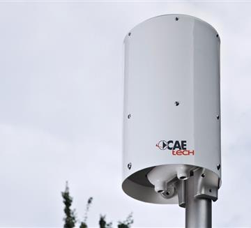
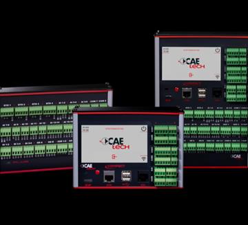

Transmission System
- GSM/GPRS
- Radio Transmission
- Satellite Transmission
- WSN - W-Master & W-Point
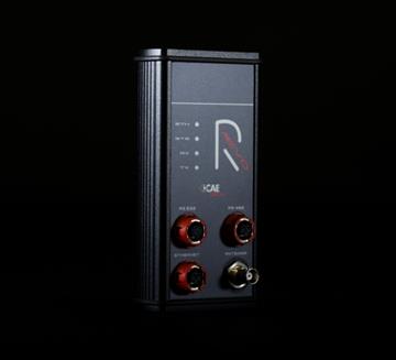
- RÆVO – IP Radio modem
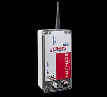
- ACTI-Link
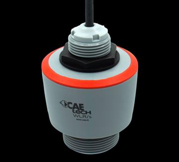
Level Sensors
- ULM20SM - Ultrasonic Wave measurement sensor
- ULM30 - Ultrasonic water level sensor
- WLR - Water Level Radar
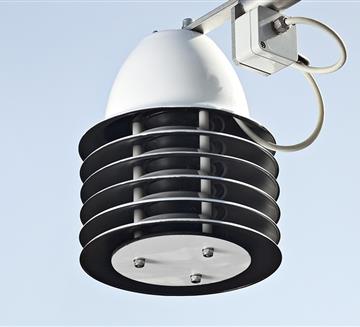
Other Sensors
- Anemometer AS202D
- Anemometer VV20 and DV20
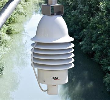
- Present weather sensor
- Thermo-Hygrometer TU20
- Snow Thermometer IR
- THS Thermo-Hygrometer
Customers


