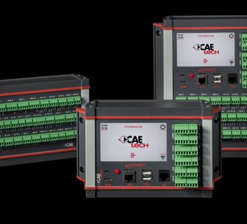
Description
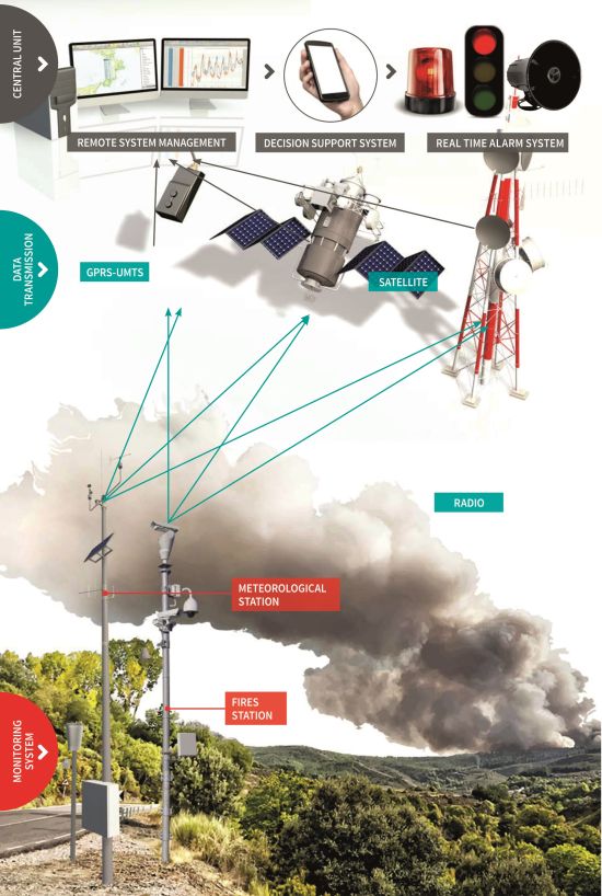
Fires are complex ecological perturbations that have always brought mankind to face dangerous situations. For this reason, it is vital to install systems that can:
- supply the required information to calculate the ignition risk indexes,
- identify fire hotspots early,
- use forecast systems for propagation of the flame front.
In order to do all this, the system takes into account several variables, including: monitored weather data, geographic layout of the landscape; conditions on the ground; number, distribution and type of buildings located in the monitored area; images from thermal and visible cameras with panoramic system and panning, with day and night optical elements and dome cameras that can be remotely operated. All information collected is used to support fire management and control, to declare the state of alert, to issue prohibition and safety measures for the population, to plan scheduled fires or other activities associated with managing combustibles and to prevent large fires.
main measurements
- Wind speed and direction
- Evaporation
- Measured precipitations
- Atmospheric pressure
- Direct and reflected radiation
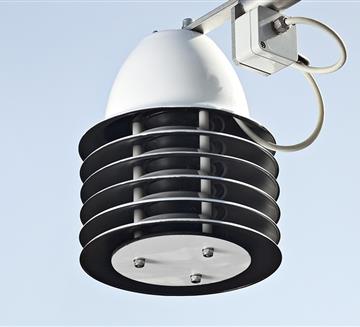
- Air temperature and humidity
Case history
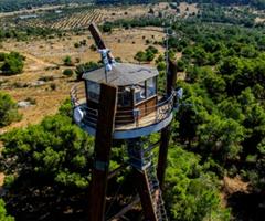
PUGLIA REGION - ARIF
Puglia's regional wooded area presents a high fire risk whilst fire-fighting operations are very complex continueCAETech Products


Transmission System
- GSM/GPRS
- Radio Transmission
- Satellite Transmission
- WSN - W-Master & W-Point
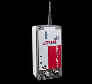
- ACTI-Link
Other Sensors
- Albedometer AB20/K
- Anemometer AS202D
- Anemometer VV20 and DV20
- Evaporimeter E200
- Radiometer
- Dome Camera
- Thermal camera IR
- Thermo-Hygrometer TU20
- Video recorder (NVR)
- THS Thermo-Hygrometer
Customers


