Description
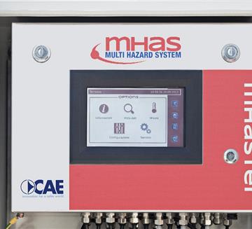
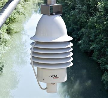
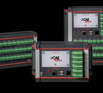
Multiple parameter embankment monitoring systems use hydraulic and weather stations together with Mesh wireless networks to provide all parameters required to characterise the embankment in real time. These systems allow studying the filtering and capillarity of specific segments of the embankments in response to flood events, even by comparing them with adjacent areas with different contour conditions. These solutions are useful to acquire the knowledge required to manage future emergency situations and to design any additional consolidation work that may be necessary, while monitoring their effectiveness at the same time.

main measurements
- Horizontal or vertical deformation
- Ground saturation level
- Hydrometric level
- Interstitial pressure
- Vertical internal temperature profile of the embankment
Case history
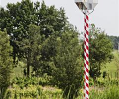
AIPO - Interregional Agency for river Po
The system aims to allow AIPO—following suitable processing and correlation of the data obtained—to model the behaviour of the right bank of the Secchia river continueTransmission System
- GSM/GPRS
- Radio Transmission
- Satellite Transmission
- WSN - W-Master & W-Point
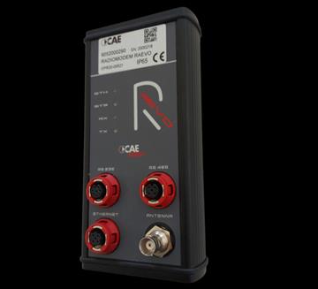
- RÆVO – IP Radio modem
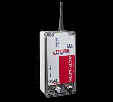
- ACTI-Link
Other Sensors
- Settlement Gauges
- Inclinometer
- Soil humidity sensor
Customers


