-
 CAE MAGAZINE n.34 - English Version - December 2024The Citizens' Observatory continues to grow: it is the turn of the Adige
The Citizens' Observatory continues to grow: it is the turn of the Adige

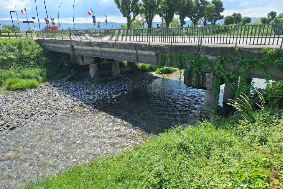
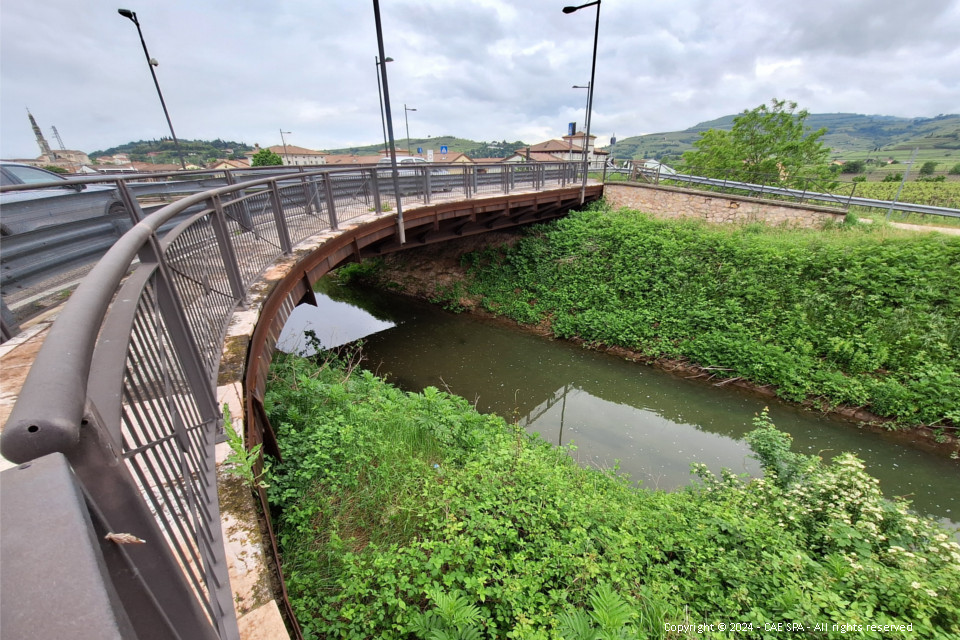
Under the agreement with RFI (Italian Railway Network), the DAO (District Basin Authority of the Eastern Alps), has called a tender to implement measure M43 "Citizens' Observatory" of the Flood Risk Management Plan (PGRA), for overflow management in the Adige river basin, in particular for the catchment areas within the Veneto Region, including Fibbio, Marcellise, Mezzane, Illasi, Prognolo, Tramigna and Chiampo-Alpone.
CAE is the leader of the temporary consortium formed with Softlab, Conit and Zetagroup, which won the tender that involves creating a monitoring system by installing and completing a remote network for measuring hydrological and hydraulic variables, as well as a dedicated IT platform to store and process data from the network and citizens, and integrate them with the hydraulic models of the Adige river basin.
The project is complex and includes several interconnected components that make up the system as a whole, namely:
1. a system for measuring hydrological and hydraulic variables on the ground, consisting of a remote hydro-meteorological monitoring network, flow rate measurements and instrument-based section surveys to characterize run-off scales where required;
2. an IT platform serving the Observatory, consisting of:
• a multi-basin DAO modelling system to collect heterogeneous flood data from external providers, manage flood forecast modelling chains, and provide data export and display services;
• a web- and mobile-accessible platform to support decision-making, provided by DAO, in order to:
- make flood data accessible to those involved in the Observatory's activities;
- improve communication exchange among decision-makers and citizens, who will no longer be just recipients of news and communications;
- improve communication exchange among decision-makers and rescuers;
• a cloud environment to host the multi-basin DAO modelling system as well as the web and mobile platform;
3. training and involvement services for citizens and schools to disseminate the initiative and train citizens and students in the area of interest.
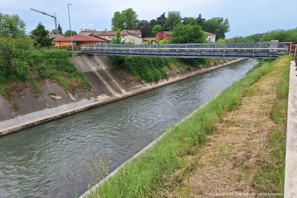
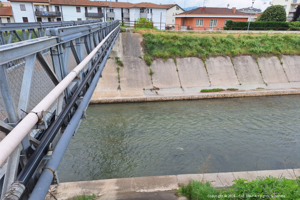
In particular, CAE will be responsible for the supply, installation and subsequent maintenance of the environmental monitoring network, which will use high-quality technologies such as: CompactPlus data loggers, WLR radar hydrometers, PG2R heated rain gauges and THS thermometers... and will be composed as follows:
• 9 stations equipped with wireless hydrometer, surface velocity radar to measure water flow and hydrometric rod with QrCode panel;
• 14 stations equipped with a wireless hydrometer and hydrometric rod with QrCode panel;
• 7 weather stations;
• 15 stations for monitoring hydrometric levels by reading from a hydrometric rod equipped with a QrCode panel;
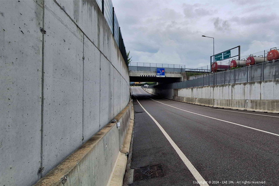
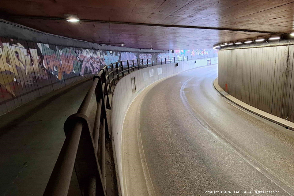
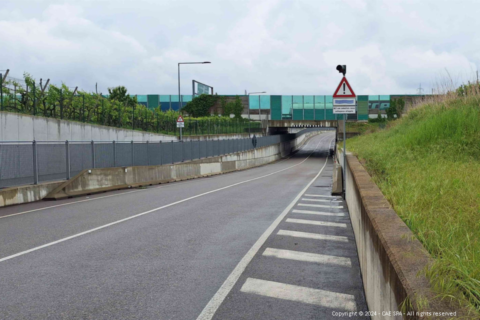
• 3 flood monitoring systems for road underpasses.
This project aims to improve the real-time flood monitoring system by integrating information from predictive models (Early Warning System) and physical sensors with:
- use of innovative measurement sensors, which can also be used directly by citizens;
- training of citizens and implementation of actions locally to keep them involved.
To find out about the other Observatory projects carried out by CAE, click the following links: Brenta-Bacchiglione, Tagliamento 1 and Tagliamento 2, Piave, Miane and Alleghe.
Back to the news index