Miane and Alleghe: the mitigation of hydrogeological risk enters schools
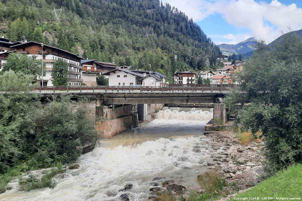
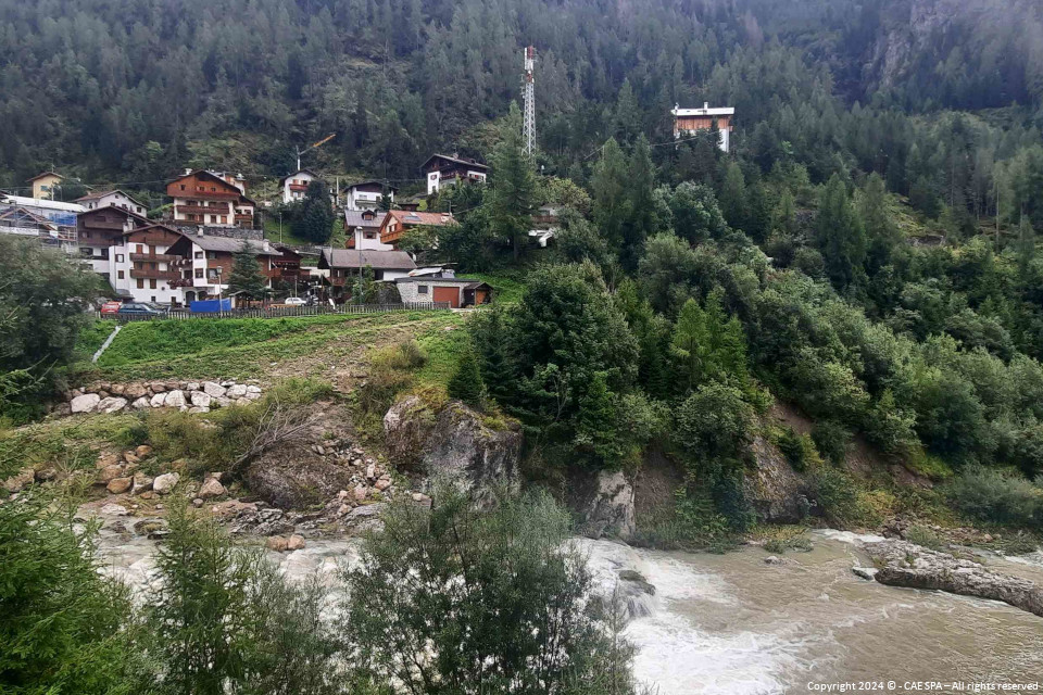
The implementation of the Citizens' Observatory in the mountain and foothill areas began with the pilot cases of the Municipalities of Alleghe (BL) and Miane (TV).
It will be CAE, in RTI with ConIT and Softlab, to provide the environmental monitoring network, consisting of physical and social sensors interfaced with a customised forecasting IT platform that will allow the DAO to create and manage the Citizens' Observatory on two basins belonging to the mountain and foothill part of the Eastern Alps District.
Special attention has been given to training and information for citizens, starting with schools, who will be involved in various activities of the project, in order to transmit good practices to citizens and make them an active part in the mitigation of hydrogeological risk.
The environmental monitoring network will consist of 5 hydrometric stations, 3 rainfall stations and 3 stations equipped with a remote measurement/remote control camera to be connected to a plant installed at the Basin Authority. The system also consists of 2 warning sirens complete with flashing light. In particular, the goal of the system is to provide the Administration with a network for remote sensing of hydrological phenomena in the two basins mentioned belonging to the mountainous and foothill part of the Piave basin, which can support the institutional functions of monitoring and studying the hydrological phenomena of the basins themselves. Given the extent of the basins and the speed with which the phenomena that affect them develop, it is necessary to increase environmental data in order to guarantee an effective, safe and reliable warning and monitoring system for the territory.
The project as a whole consists of:
- a system for measuring hydrological and hydraulic variables on land, formed by a hydro-thermal-rainfall monitoring network in remote measurement, complete with the necessary flow measurements for the characterisation of the outflow scales where required;
- an IT platform at the service of the Observatory in a cloud environment for mountain and foothill basins that must make flood data accessible to those involved in the Observatory's activities; improving the exchange of communications between decision-making bodies and citizens, who will no longer only be recipients of news and communications, therefore placed at the end of the information chain; improving the exchange of communications between decision-making bodies and rescuers, allowing the Authority to assign tasks to the teams operating in the territory;
- training of the DAO personnel and professional services for routine and extraordinary maintenance of the entire platform and monitoring network, including assistance to ensure the efficiency of the system and its progressive improvement;
- training and information campaign aimed at citizens, with activities organised to involve adults and young people from different classes of the area’s primary and secondary schools.
In particular, returning to the more purely technological aspects, the stations will be equipped with:
- dataloggers of the Compact line;
- PG2R heated rain gauge;
- THS thermo-hygrometer;
- PLM piezometer;
- WLR/S radar water level sensor;
- VV20 anemometer.
To learn about the other projects of the Observatory carried out by CAE, click here, here and here.
To learn more about CAE solutions for hydraulic and hydrological risk mitigation, click here.
Back to the news index


