The Region of Apulia: new landslide and sink-hole phenomena monitoring systems
February 2021
During 2020, despite the difficulties due to the COVID-19 pandemic, the administration of the Region of Apulia finalized an important public tender aimed at preventing geological and hydrogeological risk.
According to the resulting contract, signed in December, CAE has committed itself to supply the required technologies and perform the services aimed at instrumental monitoring of landslide phenomena, on an experimental basis. The whole project is for civil protection purposes and the activities are closely related to the forecasting measures performed by the Decentralized Functional Centre.
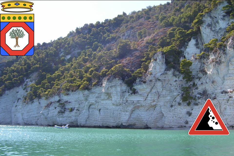
The project focuses on 3 landslide sites in the Daunia Sub-Apennine (Motta Montecorvino, San Marco La Catola and A16 Candela-Lacedonia freeway); 2 representative sites of rock landslides along the coast (Tor di Lupo and Torre dell'Orso); and 1 site affected by sink-hole phenomena (Laterza).
Among the preparatory works for the implementation of technologies and the correct interpretation of the data, there will also be fieldwork, such as surveys, geognostic surveys and installation of an inclinometer tube, as well as geotechnical laboratory tests.
The project involves the delivery and implementation of several technological solutions, to be integrated into a single platform equipped with specialized software. Particularly, in the 6 landslide sites considered altogether, the following equipment will be activated:
- 6 complete automatic weather stations, connected to the control centre via GPRS, capable of managing the collection of measurements from a significant number of geotechnical sensors;
- 2 robotic total stations for topographic surveys, also connected to the control centre via GPRS;
- 19 GNSS receivers, of which 7 Masters and 12 Rovers, connected via GPRS to the control centre and in ubiquity with the industrial PCs installed on site.
Among the strengths of CAE, in addition to previous experiences in the management of this diversified set of techniques and technologies, there is the ability to automate geotechnical monitoring, both remotely and in real time, thanks to the extensive use of wireless devices. Specifically, in addition to integrating a large number of weather sensors including the PG10 rain gauge and the THS thermo-hygrometer, the aforementioned 6 automatic stations implement short and medium range radios (W-Point and Acti-Link) and thus become the centralizers able to manage:
- 9 automatic deep inclinometer chains;
- 36 piezometric cells;
- 22 biaxial clinometers for blocks/buildings;
- 22 wire extensometers for buildings with short range;
- 4 level measuring containers.
The automatic stations, equipped with Mhaster dataloggers and therefore characterized by programmability, openness and interoperability, are also equipped with an anti-theft alarm, as well as a theft detection system for solar panels.
The Control Centre is based in Modugno and will be equipped with a complete suite of specialized software, capable of managing all the proposed solutions. Among these software, some will be provided in OpenSource mode, complete with source code, while others will allow mobile access to data.
The Region of Apulia will therefore have almost 2 years of continuous services including installation, monitoring, start-up and technical assistance. This period will be followed by a 12-month maintenance which will be both preventive (with 2 visits per year for calibration and setting of the devices), and corrective in case of need.
As always, the service is “turnkey” and includes 24/7 remote maintenance and assistance, remote control with help desk and, in case of short-term, urgent interventions, there will be an on-site operator trained by the company. Manual inclinometer reading service is also provided for the entire period, with a frequency of 6 measurements per year.


