-
 NewsStrengthening the Sardinia Region’s hydrometeorological monitoring network for Civil Protection purposes: the work of ARPAS, STOISS and STOIOR gets underway
Strengthening the Sardinia Region’s hydrometeorological monitoring network for Civil Protection purposes: the work of ARPAS, STOISS and STOIOR gets underway
April 2017
Sardinia confirms being a dynamic region that is sensitive to hydrometeorological monitoring issues. In fact, in addition to the implementation of the Regional Climatological Network, which we discussed two issues ago, it is strengthening its meteorological monitoring and regional hydropluviometric network for Civil Protection purposes.
CAE has been involved in 3 operational procedures to this end and is now preparing to supply and install the necessary equipment.
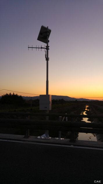
In particular, with regard to the tender launched by ARPAS (Sardinia Environmental Protection Agency), the operation is focused on 18 sites. One will involve a hydrometer being installed as an expansion of an existing pluviometric station, whilst the other 17 will see new Mhaster automatic stations installed. Hydrometric levels will be measured with pressure and radar sensors, including 15 LPR radars. Overall, 12 stations will be utilised for monitoring the waterway level and 6 for monitoring the level of artificial reservoirs. The system will entirely integrate with the existing network, reinforcing it in terms of density and technological upgrading. The final objective is to increase the effectiveness of the warning procedures, responding to the transversal needs of all structures operating in the planning, control and management of the territory and the environment.
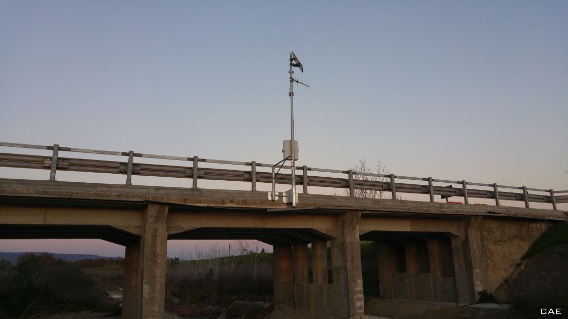
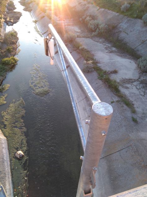
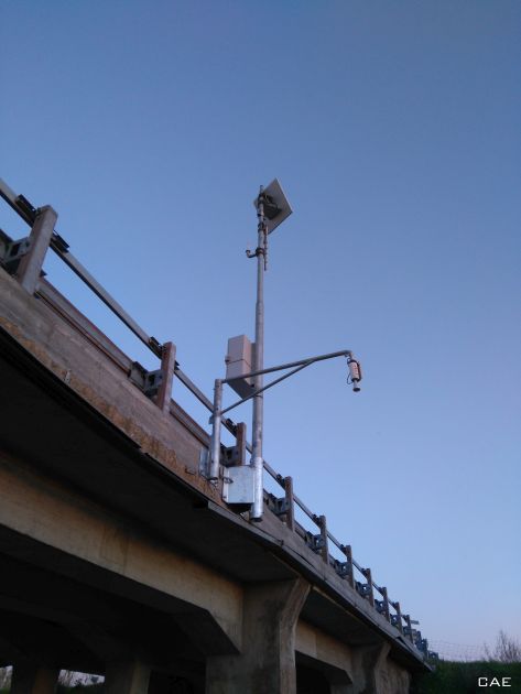
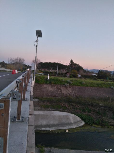
Also, with a view to expanding the current network, the Servizio Territoriale Opere Idrauliche Sassari (STOISS or, Sassari Territorial Hydraulic Works Service) has identified 3 critical sectors in which it is necessary to monitor the hydrometric level and discharge. The contract involves the installation of 3 hydrometric stations along sections of the Coghinas river in correspondence with the bridge on the SP33 provincial road, the Badde Caprile river on the bridge along Via La Piana in Viddalba and the Padrongianus river in line with the bridge on the SS125 provincial road in the Municipality of Olbia. For each of the 3 installation sites, the necessary cross-sectional geometry surveys will be carried out to define the relevant outflow scale. Implementing the central section method, CAE will associate the river level with its flow rate, as defined by UNI EN ISO 748:2008 standard “Measurement of liquid flow in open channels using current-meters or floats”. Also in this case, the 3 stations will be equipped with the latest-generation Mhaster datalogger and LPR radar hydrometers. In addition, the stations will be fitted with a dual-optical image capture module that captures, records on-site and transmits photos of the sections to be monitored in real time, both in scheduled timing mode and on demand. Finally, subject to provision will also be the installation of 3 new hydrometric rods in correspondence with each new hydrometer installed, with the relative topographic surveys, consisting in obtaining the zero-flow gauge height of the hydrometric rod.
The Servizio Territoriale Opere Idrauliche di Oristano (STOIOR - the Oristano Territorial Hydraulic Works Service) has also requested the supply and installation of a new automatic hydrometric station in Terralba (OR), where it will be determined the outflow scale, including the execution of flow measurements, the acquisition of existing surveys and the execution of any additional surveys necessary to define the geometry of the riverbed in the vicinity of the section being measured. The station, with Mhaster datalogger and LPR radar hydrometer, operates to detect the hydrometric levels along the section of the Rio Mogoro in line with the bridge on the SS126 provincial road. The installation has already taken place and the station is perfectly integrated with the regional meteorological and hydropluviometric monitoring network of the Sardinia Region managed by ARPAS, the regional hydraulic and hydrogeological risk alert service for the purposes of Civil Protection.