-
 NewsApulia: maintenance of the landslide and sinkhole monitoring network
Apulia: maintenance of the landslide and sinkhole monitoring network
March 2025
After fires and hydro-agrometeorological phenomena, here we are talking about landslides.
The Apulia Region completes a virtuous project by concentrating the following monitoring expertise in the Civil Protection Section:
- hydro-agrometeorological;
- landslides and sinkholes;
- early detection of forest fires.
This is an innovative approach that brings all these areas of expertise together in a single structure to ensure comprehensive control over the various risk scenarios, and leverage the ability to analyse data from different sources.
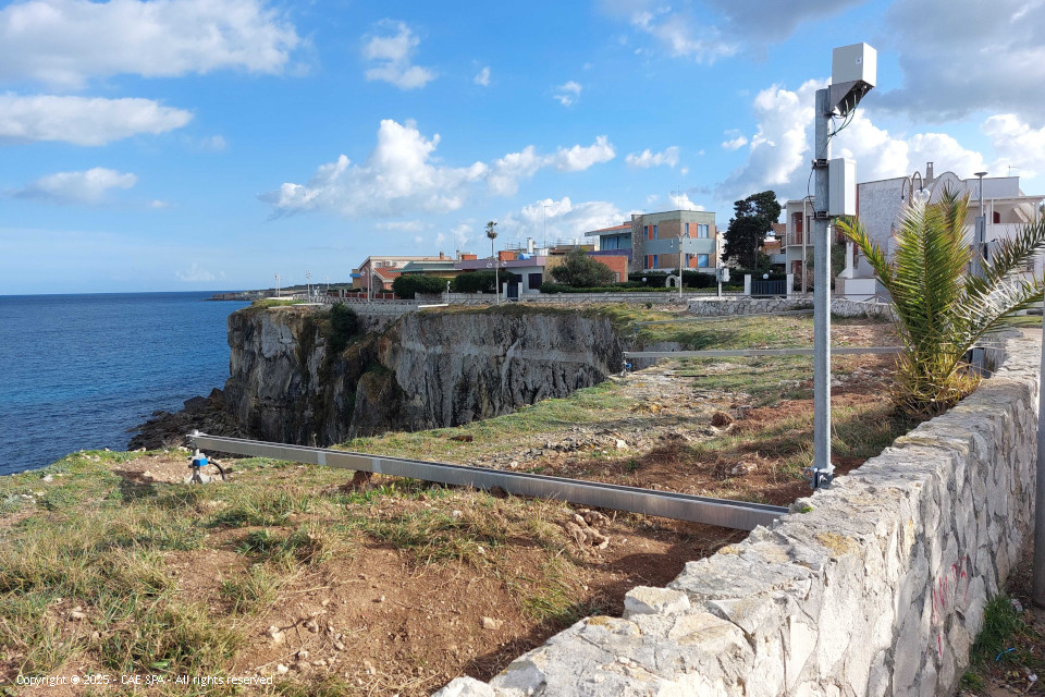
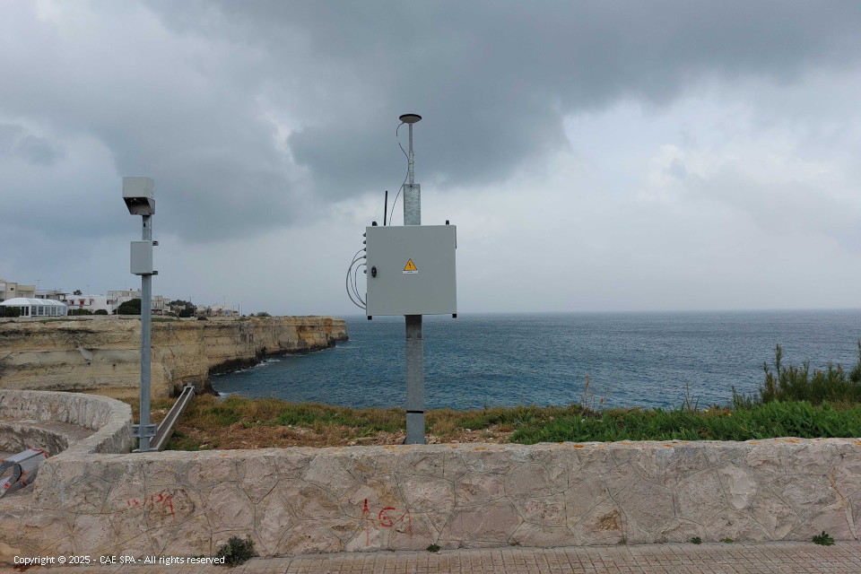
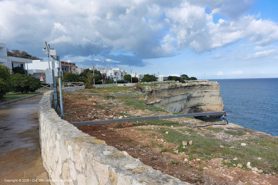
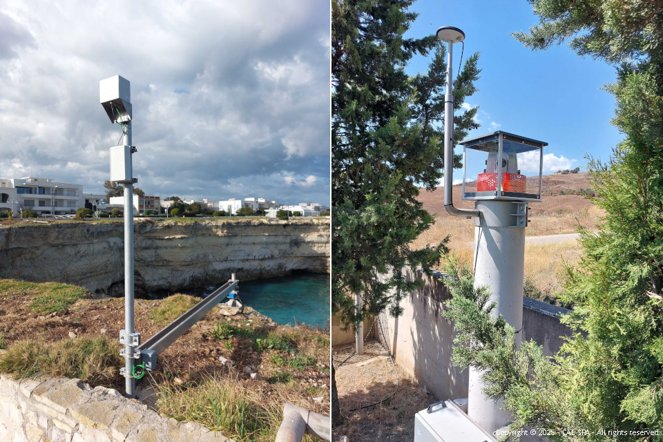
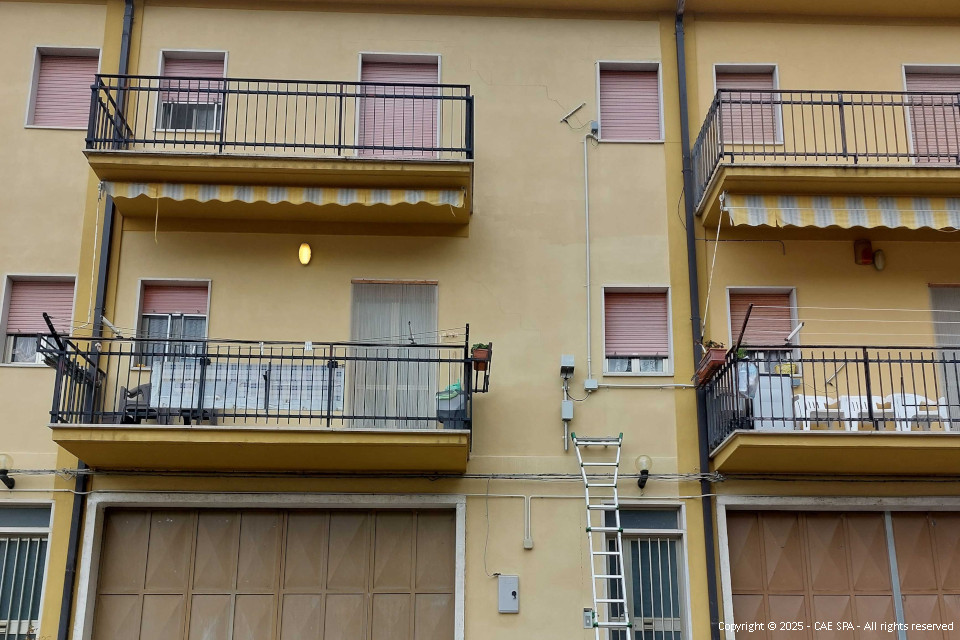
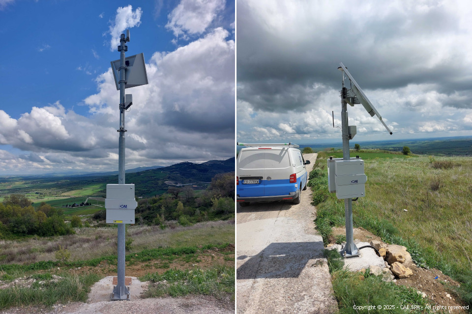
CAE also won the second part of the maintenance tender organised by the Apulia Region: “Maintenance and management of the landslide and sinkhole monitoring network”. This is an experimental instrumental network for monitoring landslides and sinkholes. It is managed by the Civil Protection Section of the Apulia Region through its “Decentralised Functional Centre”. The monitoring system consists of:
- 3 landslide sites in the Dauno Sub-Apennines;
- 1 site representative of rock landslides along the coast;
- 1 site affected by sinkholes.
The network was set up as part of POR PUGLIA 20142020 Axis V “Climate change adaptation, risk prevention and management” - Action 5.1 “Hydrogeological risk reduction and coastal erosion actions” (click here to learn more).
CAE is the Italian company with the most experience in the field of geological monitoring. In addition to building the network concerned, it played a key role in creating the ARPA Lombardia geological monitoring network, the largest in Italy (129 stations, 6 repeaters, 1 main station), and is still responsible for the maintenance service. The company has also successfully provided many other geological monitoring solutions, which was possible due to CAE’s specialist expertise, i.e. training and investment in instrumentation, and experience in the use of GNSS technology, for example, for geodetic monitoring in Val di Vizze, for the Brenner tunnel, and for expansion and modernisation of the GNSS network co-located with ISPRA national tide gauge network.
Now the service starts, ready to continue ensuring maximum network efficiency at all times.
Back to the news index