-
 CAE MAGAZINE n.15 - English Version - May 2020New investments in technology and training to increase the quality of services
New investments in technology and training to increase the quality of services

For some time now, CAE market has expanded adding alerting services to monitoring and targeting multi-hazard realities: not only CAE develops systems for mitigating hydro-meteorological risk, but also deals with forest fire and hydrogeological risk. Particularly, with regard to the management of the latter, over time, it has become increasingly crucial to use specific geotechnical and topographical tools that give us a complete picture of the risk to which a territory is subjected, allowing us to intervene more effectively.
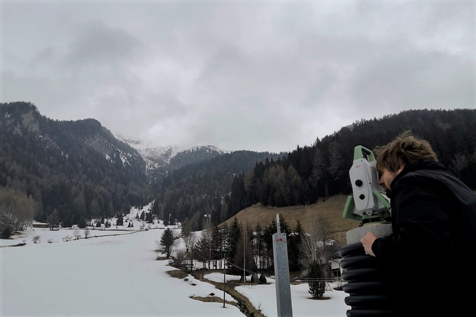
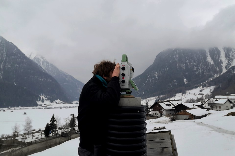
To respond to the growing number of orders requiring the execution of complementary services linked to the world of monitoring and topographic surveys, CAE is keeping on investing in technology and training to further increase the skills of its technicians. Today the challenges in this field are increasingly demanding, and to overcome them it is necessary to be able to measure movements within millimeter accuracy; therefore, quality tools are needed, an essential element within the CAE policy. This is why CAE has decided to rely on Leica, a company with 200 years of experience in precision measurement and over 30 years of experience with automatic deformation monitoring systems.
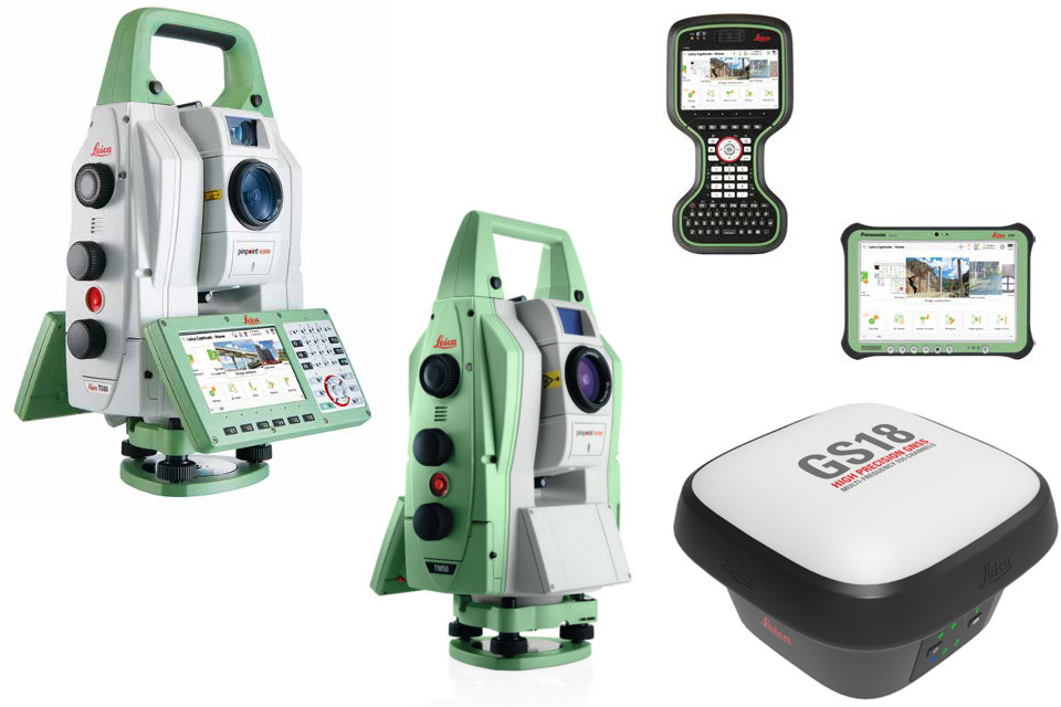
Particularly, 4 new stations were purchased, dedicated both to continuous monitoring and to individual measurement campaigns. In both cases, these technologies allow a complete characterization of the monitoring environment. In the case of automated monitoring, according to what is traditionally offered in the hydrometeorological sector, tools can operate 24h a day and withstand intense use even in the most demanding environments. For the individual measurement campaigns, a high-performance, fast and precise tool was purchased: a total self-learning station capable of adapting automatically and continuously to any site condition such as rain, fog, dust, sun, thermal glare and reflections. Moreover, this tool is equipped with software capable of transforming complex data into 3D models, so that any type of measurement and project data can be seen in any dimension.
In addition, the following equipment was purchased:
- 8 GNSS receivers: ideal for networks with real-time data, as they are designed for continuous, reliable and precise operations; they offer high quality measurements with particular attention to power consumption;
- 1 basic system complete with Rover RTK GNSS and Smart GNSS antenna with self-learning, suitable for working efficiently in the most adverse environments.
Obviously, the instrumentation is always accompanied by the specific software modules necessary to provide a complete service, including a web portal dedicated to data visualization.
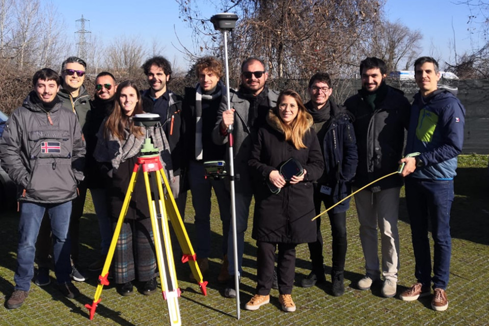
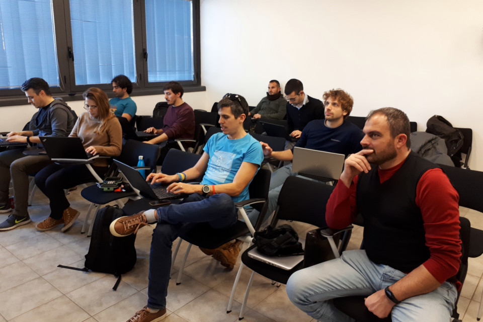
However, hardware and software technology alone is not sufficient, if it is not used by trained technicians; for this reason, training is never enough and the investment has included a dedicated measure to further increase the capabilities of CAE technicians.
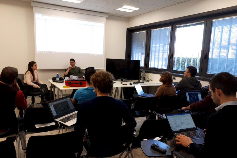
The first training courses held by Leica have already been completed. The theoretical training, which went from the concepts of geodesy and cartography up to the use of the purchased GNSS survey systems, was followed by a practical exercise on the use of these systems and a qualitative survey. Finally, the processing of the collected data was addressed.
Further insights studies and courses will follow because, in order to guarantee high quality standards, specialized knowledge is required, which implies continuous updates, further insights and studies.
Back to the news index