Ready to intervene in a few hours: a PG4i for the landslide in Morino (Region of Abruzzo)
July 2021
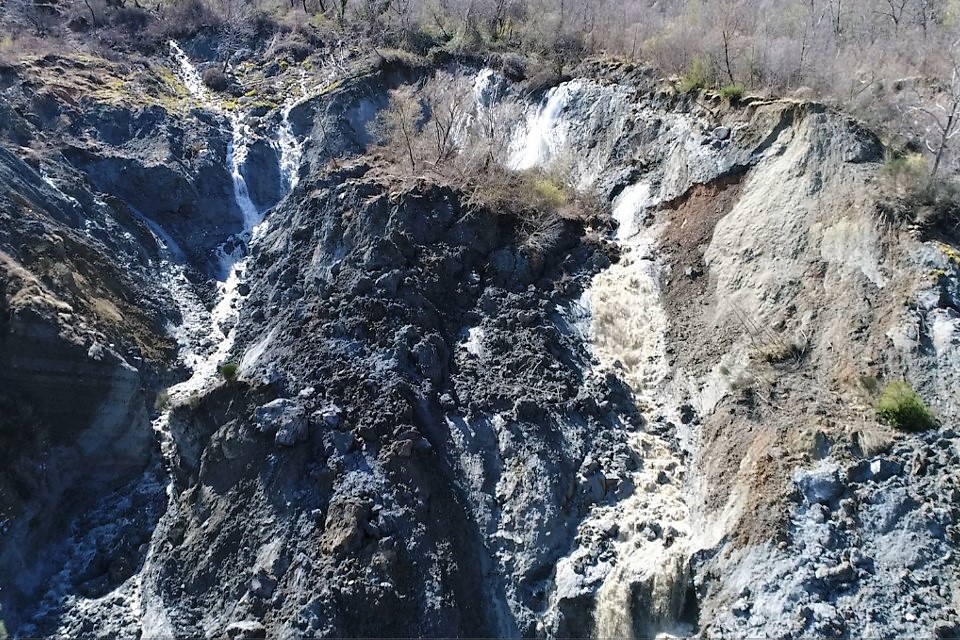
A landslide phenomenon has been active for some time and is digging up a slope below the fraction of Rendinara, in the Municipality of Morino. The landslide directly affects the neighbouring town of Castronovo, in the Municipality of San Vincenzo Valle Roveto.
In mid-March 2021, the danger for the population of the affected area increased, as the rains and atmospheric events of the previous period caused a major landslide. The instability develops towards the valley of the Liri river. Inside the landslide body there are several uncontrolled springs transporting large quantities of debris downstream, mostly clayey, conveying into the Rio Sonno channel, which then flows into the Liri River. The material transported in March, whose volumes can be estimated in a few thousand cubic meters, created the almost total obstruction of the Liri riverbed for a few hours, with consequent raising of the water level upstream, as well as the obstruction and alteration of the hydrogeological regime of the watercourse.
An Info Media News interview with the mayor of San Vincenzo Valle Roveto, Luciano Lancia, available at the following link, shows suggestive images helping us understanding the extent of the phenomenon, described in detail by the mayor, who also mentions the involvement of all the Bodies and interested parties, including the mayors of the municipalities that have signed the River Contract. In CAE Magazine n.28, we talked about the meaning and importance of River Contracts with Meuccio Berselli, Secretary General of the Po River District Basin Authority, and in this case we face a practical example of their usefulness (to learn more click here).
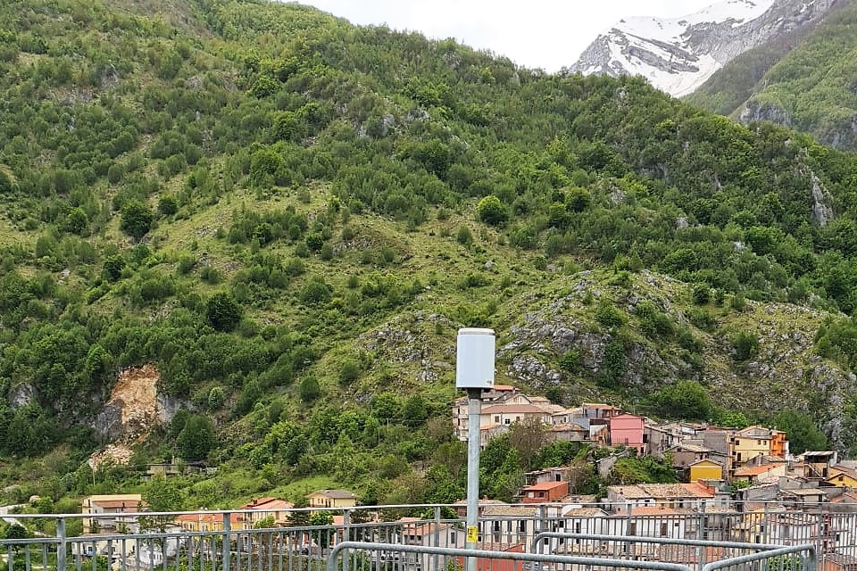
This phenomenon is now being monitored with satellite technology. Furthermore, as communicated by the Civil Protection of the Region of Abruzzo (link), after the inspection occurred on April, 29th attended by the Civil Protection Department of the Region of Abruzzo, the Department of Civil Protection, the Competence Centre for the Civil Protection of the University of Florence, the Civil Protection of the Region of Lazio, the Regional Civil Engineers Service of L'Aquila, the INGEO Department of the University of Chieti-Pescara and the Administrations of the Municipalities affected by the landslide phenomenon, on the morning of May, 16th, the technicians of the Functional Centre of the Civil Protection System of the Region of Abruzzo installed a new PG4i “stand alone” rain gauge in the Rendinara fraction, in the Municipality of Morino (video). Given the emergency situation, the rain gauge was quickly supplied by CAE, which is currently in charge of the maintenance service of the hydro-meteorological monitoring network of the Functional Centre of the Region of Abruzzo. The sensor allows real-time recording and monitoring of rainfall in the landslide area, as well as the display of data to the competent staff via a web platform, ensuring increasingly precise analysis and processing. Moreover, with the installation of this rain gauge, the area can be included within the experimental activity of forecasting hydrogeological instability events that the Functional Centre of Abruzzo carries out in cooperation with Cetemps in order to identify triggering rain thresholds.
Once again, CAE is ready to intervene quickly during emergency situations linked to the risk of hydrogeological instability.
Back to the news index


