-
 NewsLive from Remtech: "The use of the wireless sensor network aiming at emergency management and risk reduction in instability scenarios: application examples, strong points and future perspectives" according to geologist Simone Colonnelli
Live from Remtech: "The use of the wireless sensor network aiming at emergency management and risk reduction in instability scenarios: application examples, strong points and future perspectives" according to geologist Simone Colonnelli
October 2017
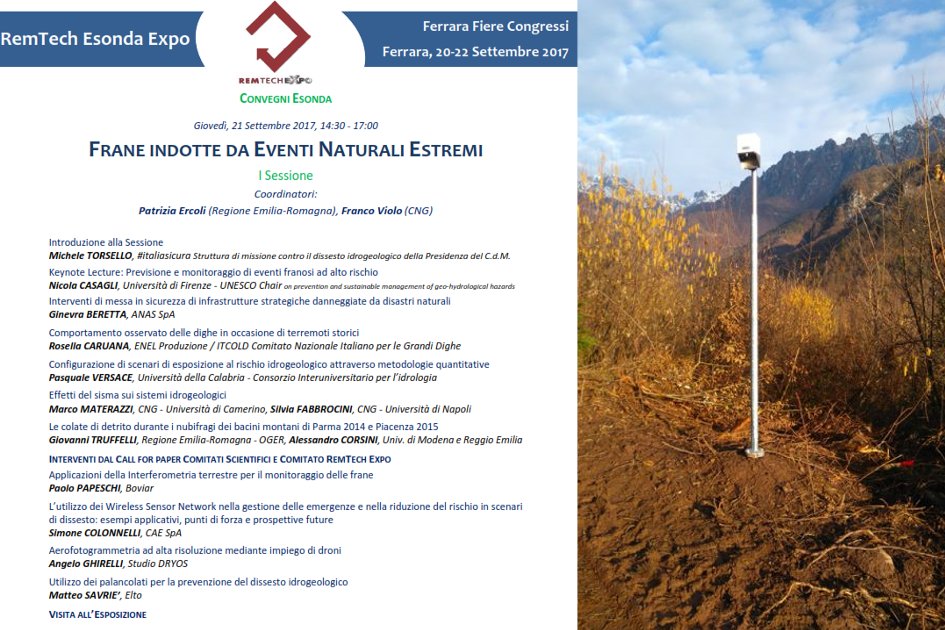
On Thursday, September 21st, Simone Colonnelli, Geologist and CAE Project Manager, spoke at the Esonda conference "Landslides caused by extreme natural events", at the RemTech Expo. His intervention was about "The use of the Wireless Sensor Network aiming at Emergency Management and Risk Reduction in instability scenarios: application examples, strong points and future perspectives."
The first WSN used to monitor landslides was created by CAE in 2010 inside an experimentation project carried out together with the University of Bologna. Today, thanks to further developments, that technique has been consolidated and has allowed CAE to install almost 200 knots all over Italy.
Each WSN monitoring network is part of a wider system that, apart from the field sensor network, includes:
• a main station, located outside the moving area, performing the coordination and acquisition of the field sensor network, that can integrate weather sensors, if necessary;
• one or more communication systems;
• headquarters where to check the network and display the data;
• an alarm system, if necessary.
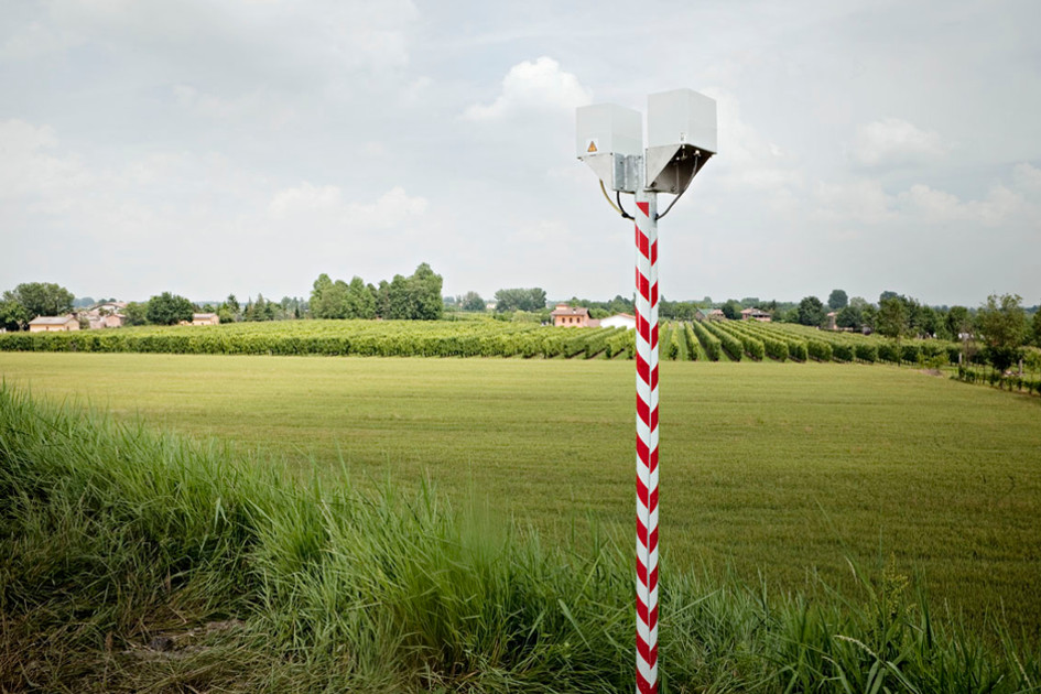
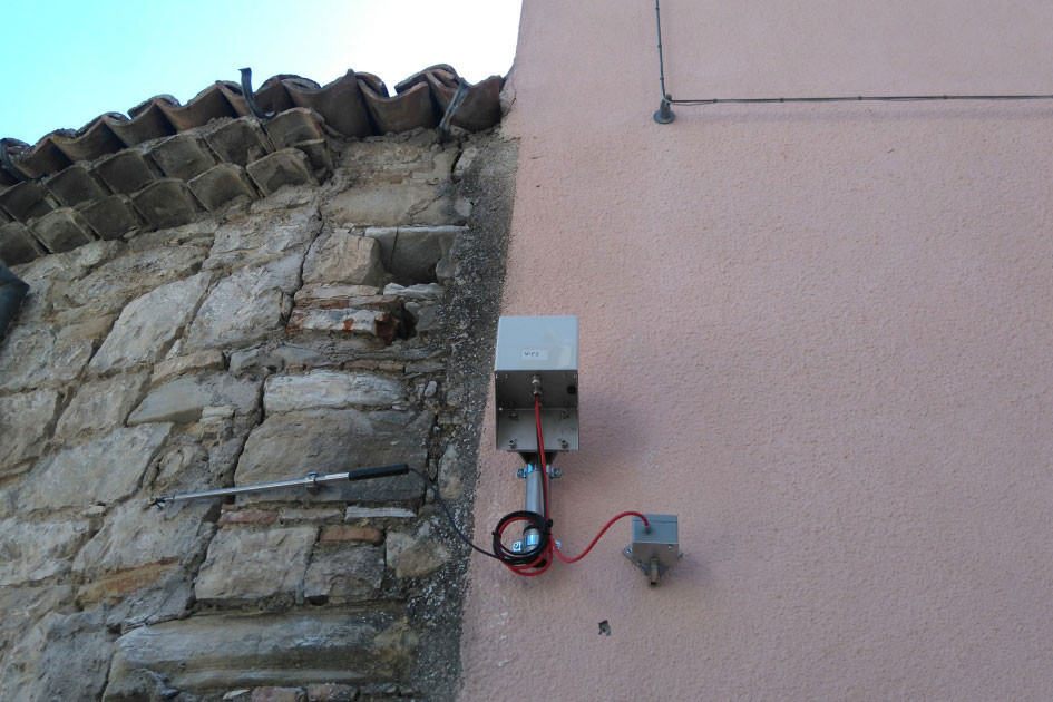
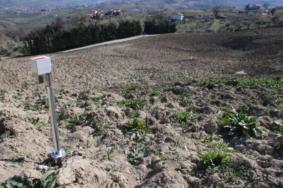
The CAE wireless knots, that are called W-points, can be connected to various sensors located in the area to be monitored. Each knot controls the processes of sampling, registration and first elaboration of the data and it is equipped with 3 analog inputs, that can be augmented up to 12, and 2 digital input/output. Each W-Point is self-sufficient from an energy point of view and presents an average endurance of more than 10 months thanks to its pack of batteries, or a virtually unlimited endurance thanks to the Solar Pack.
All the geotechnical sensors that are commonly used in the field of landslide monitoring (for example: piezometers, inclinometers, extensometers, and so on...) can be interfaced to the W-Points. Moreover, these sensors can be supported by a RTK GPS monitoring system in order to control any possible deformation of the surface.
Apart from the characteristics of the hardware, the main strengths of this solution are its functioning logics. Particularly, we are talking about "multi-hop" systems where there is no need to configure in advance the communication paths among the various knots, because they configure automatically and dynamically, as the system is not submitted to any hierarchy among the knots. This allows us to easily modify the geometrical structure of the field network and to adjust it to the evolution of the instability, without the need to intervene in the «software» configuration, by simply moving the W-Point to where it is more necessary and, therefore, following how the emergency evolves. Moreover, the fact that the network can keep configuring itself allows the system to survive to any possible malfunction, if it has been designed with the appropriate redundancy.
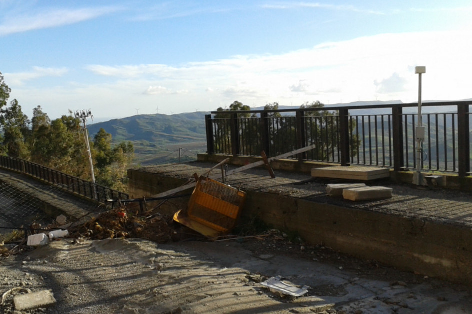
This intervention gave us the opportunity to introduce the audience of RemTech to some application cases, for example the ones connected to the installations carried out in many Municipalities inside the "crater" of the latest Italian earthquake, the monitoring system for the Panaro River expansion chamber, and the ongoing project for the construction of the landslide monitoring network of the Region of Lombardia, where for the first time in Italy we can see the construction of a unique, great integrated system for landslide monitoring (to know more about the above-mentioned projects, please visit our website). The flexibility of al these instruments allows us to easily and quickly adapt to different operational contexts, as well as to efficiently meet the various needs of the clients, that go from the monitoring of adverse situations from a logistic point of view, where traditional cable-lying works could be too complex or expensive, to the activation of monitoring and alarm systems aiming at public safety in emergency situations. Actually, WSNs can be useful not only to monitor landslides, but also to handle other kinds of scenarios connected to hydrogeological risk, allowing us to reduce the risk itself and to handle emergencies.
This intervention has been broadcast live on our Facebook page (click here) and now it is also available on YouTube at the following link: click here