-
 NewsA hydrometric monitoring system for the flood expansion basin of the Muson stream
A hydrometric monitoring system for the flood expansion basin of the Muson stream
April 2026
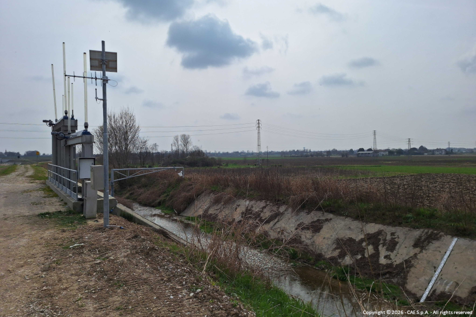
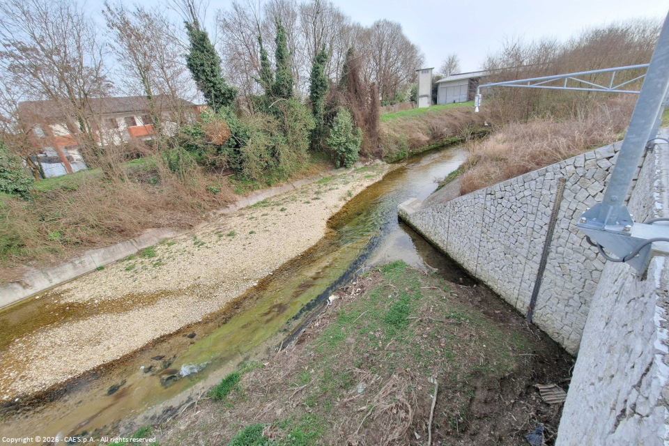
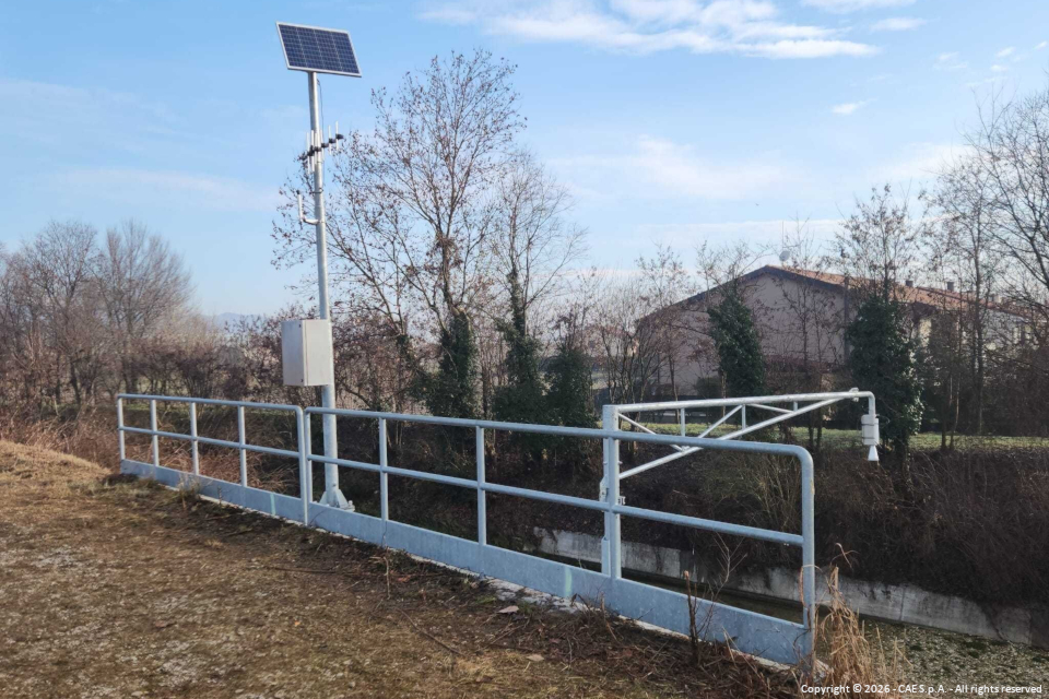
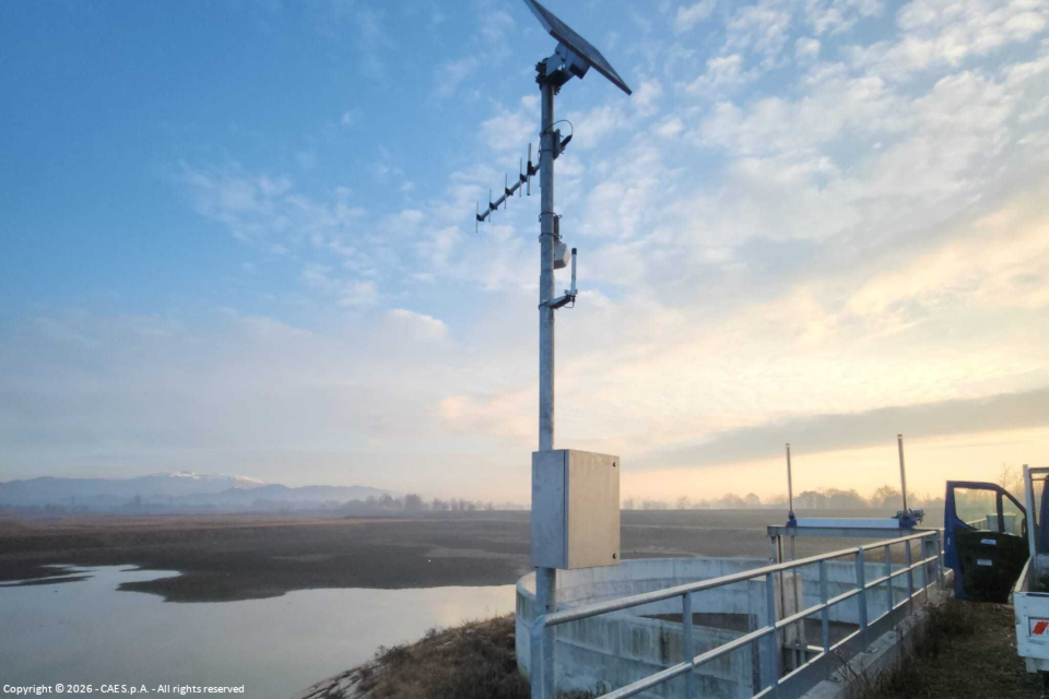
Within the framework of the expansion basin designed to mitigate flood events of the Muson stream and its tributary Lastego, the Veneto Region, through the Civil Engineering Department of Treviso, planned the implementation of a hydrometric monitoring system, developed by CAE and aimed at real-time water level measurement to support flood management activities and the control of hydraulic dynamics.
The basin is designed to be activated during rapid flood events, as occurred in October 2023, when it prevented downstream flooding by reducing the peak of the flood event. Monitoring water levels facilitates decisions regarding the management of hydraulic infrastructure and the operation of sluice gates.
Specifically, four hydrometric stations have been installed at key points within the expansion basin, namely:
- the Muson intake/diversion structure;
- the Lastego intake/diversion structure;
- the intermediate spillway;
- the return structure into the Muson stream.
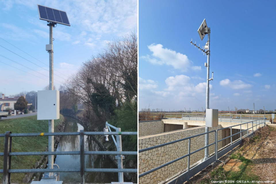
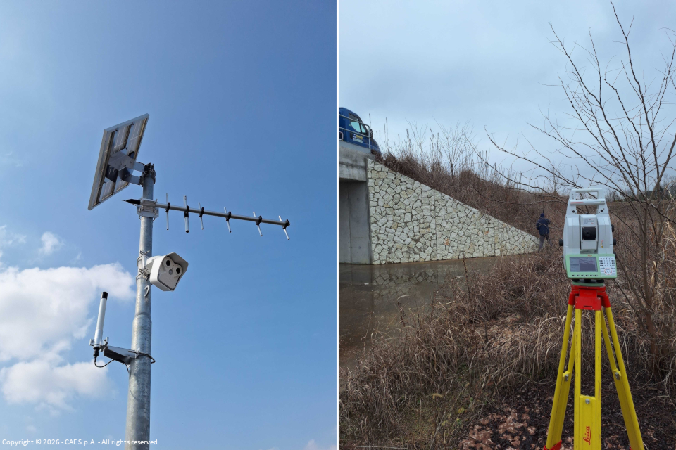
The stations are equipped with Compact dataloggers and hydrometers, using either radar or piezometric technology depending on the installation site characteristics. In all cases, the instruments are built with robust and reliable materials, designed to withstand the test of time and endure sudden and extreme climatic variations typical of alpine environments. The monitored sites are also equipped with staff gauges for low-flow and high-flow levels. These are complemented by dedicated webcams, allowing users to visually verify conditions even in the absence of transmitted data, supporting decisions on opening or closing sluice gates.
Special attention has also been given to energy aspects: all stations are autonomous thanks to solar panels with backup batteries capable of ensuring operation for several days even in the absence of external power supply.
The project was delivered as a "turnkey solution", including not only the instrumentation and software but also all activities required for full operation: installation, commissioning, and technical documentation.
Thanks to the compatibility of the instrumentation, the stations can be integrated into the regional hydro-nivo-agro-meteorological monitoring network of ARPAV.
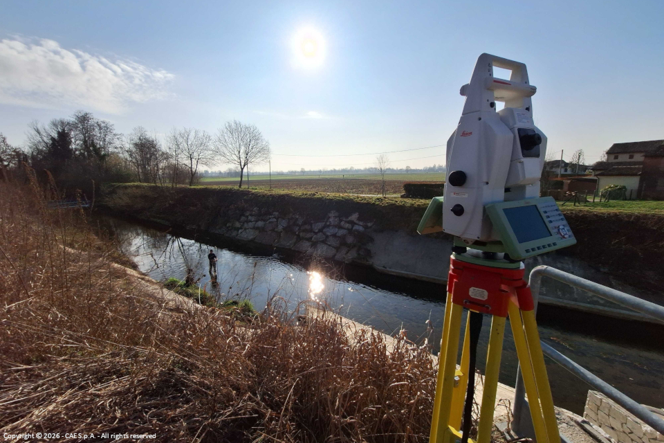
To support monitoring, several activities were carried out at each station, including topographic and bathymetric surveys, establishment of planimetric-altimetric benchmarks, determination of geographic coordinates and elevations above sea level, referenced to the National Dynamic Network, as well as the survey of cross-sections of riverbeds and existing structures such as bridges and hydraulic works. CAE also calibrated the hydrometric zero level of staff gauges and hydrometers, where present, using high-precision topographic instruments.
The contribution of these four hydrometric stations to the alert system is significant, enhancing the availability of real-time data to support downstream flood forecasting. In particular, they will be essential for safeguarding and managing hydraulic risk in the municipalities of Castelfranco Veneto and Castello di Godego.