-
 CAE MAGAZINE n.28 - English Version - March 2023The Citizens’ Observatory arrives at the Tagliamento
The Citizens’ Observatory arrives at the Tagliamento
CAE, parent company of the RTI established with CONIT and SoftLab, has won the tender issued by the Eastern Alps Hydrographic District (DAO), for the provision of an environmental monitoring network that interfaces with a forecasting IT platform that will allow the DAO to create and manage the Citizens’ Observatory on the catchment area for the Tagliamento River in the stretch between Pinzano and the mouth of the river. The Observatory as a whole foresees:
- the use of innovative measuring sensors, which can also be used directly by citizens;
- the exploitation of the collective intelligence of citizens through the monitoring of social networks and the use of tools, such as specific apps, used by experienced and trained personnel (e.g. civil protection volunteers or/and specialised environmental associations, students, members of professional orders...);
- the training of citizens and the activation of actions on the territory to maintain their involvement;
in this way, the data will be made accessible to all those involved in the activities of the Observatory, improving the exchange of communications between decision-makers, rescuers and even individual citizens.
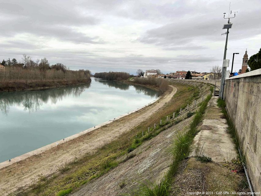
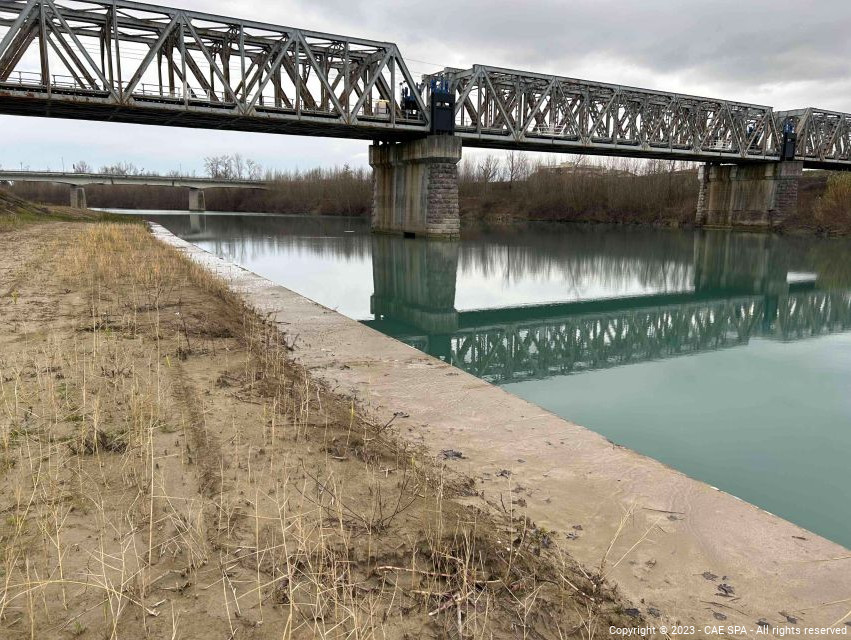
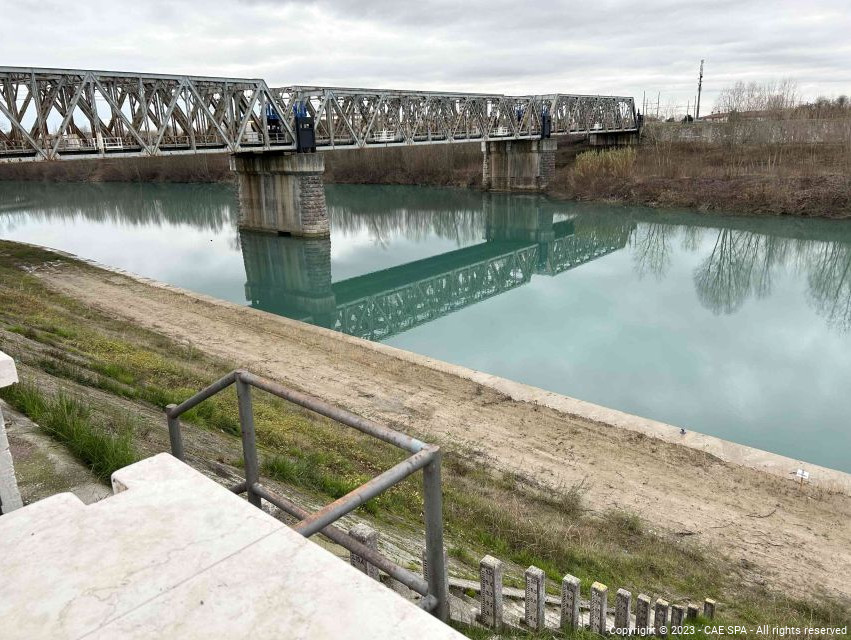
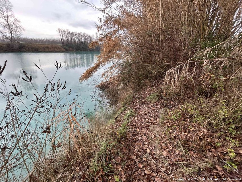
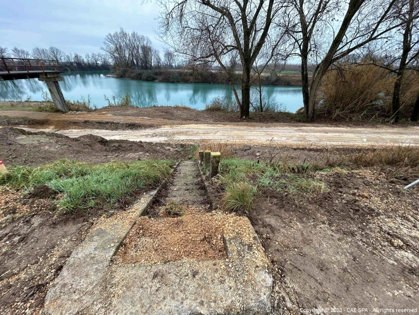
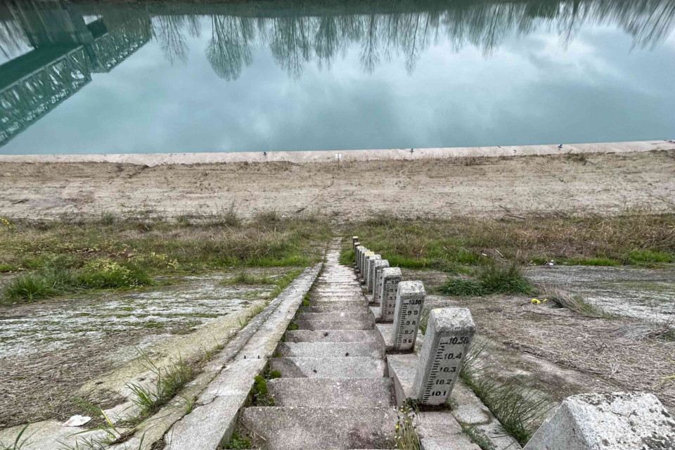
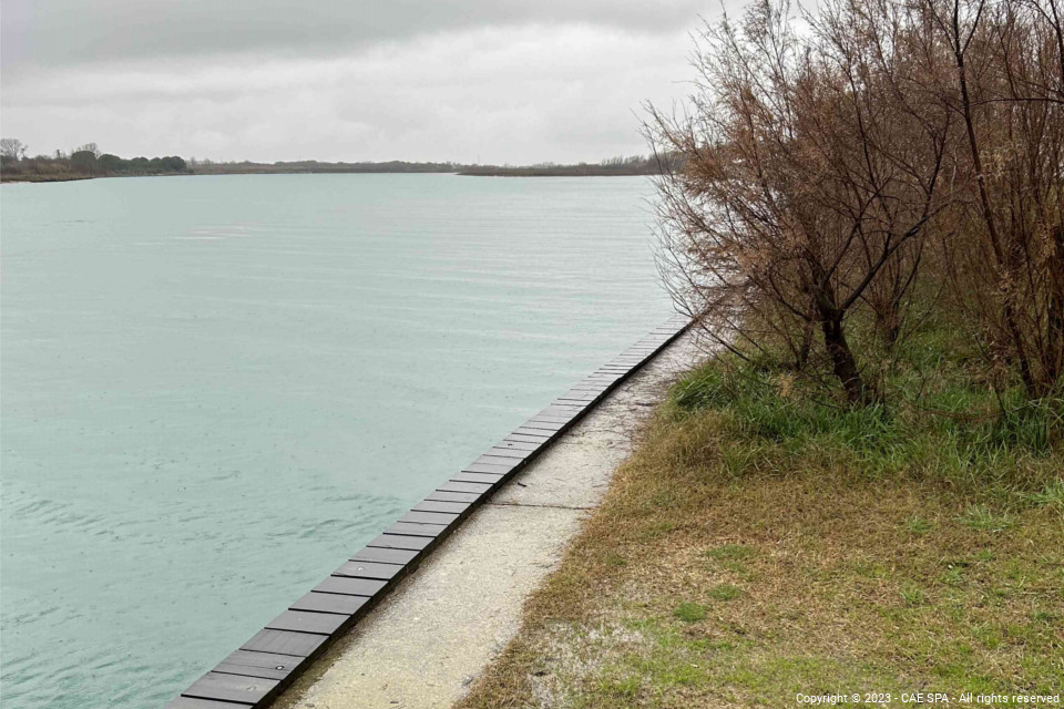
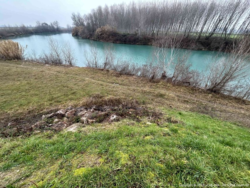
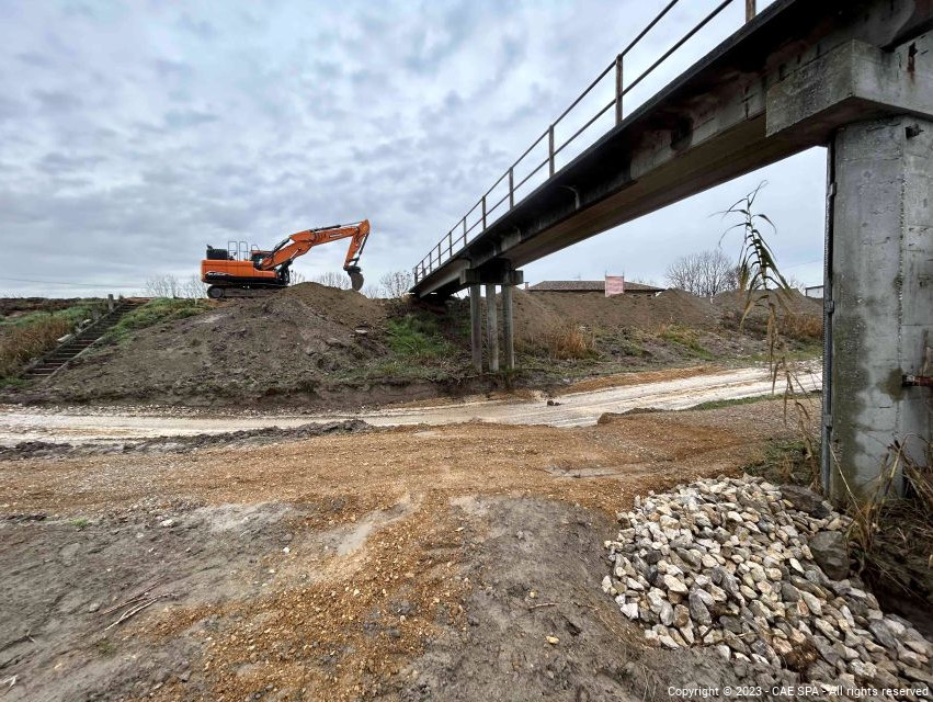
The Observatory includes the new network, which will be provided by CAE, for hydrometric monitoring and flow rates in the section between Pinzano and the mouth of the Tagliamento, to be connected to the Authority's control systems. The network will make available a series of important information related to the hydrometric/hydrological conditions of the Tagliamento basin, allowing a better implementation of the forecast models of hydrological development.
The measurement system consists specifically of 4 remote sensing stations for hydrometric monitoring and monitoring of the flow rates, consisting of:
- Compact datalogger;
- hydrometric pressure sensor for measurement of the level;
- ADCP current velocity meter;
- solar panel power supply capable of guaranteeing complete energy autonomy;
- dual transmission system based primarily on 4G technology (or higher) and secondarily on satellite back-up system;
- hydrometric rod equipped with QR code.
The stations will provide real-time flow data, combining water velocity, level data and channel geometry information, and during the project, numerous manual measurement campaigns will be carried out as part of the activity of development of the outflow scale, covering ranges going from the bottom of the scale upwards, in order to obtain an adequate historical series of data.
This activity is carried out within the framework of an Agreement between the Ministry of Ecological Transition and the District Authority of the Eastern Alps for the implementation, within the Fund for Development and Cohesion (FSC) 2014/2020 – Environmental Operational Plan "Interventions for the reduction of hydrogeological risk and coastal erosion", of a series of interventions aimed at the implementation of an excerpt of measure M43 of the Flood Risk Management Plan for the UOM Tagliamento.