-
 CIVIL DEFENSE OF BASILICATACase history
CIVIL DEFENSE OF BASILICATA
Project to enhance and maintain the water and rain monitoring network in real time of the Basilicata region.
REQUIREMENTS
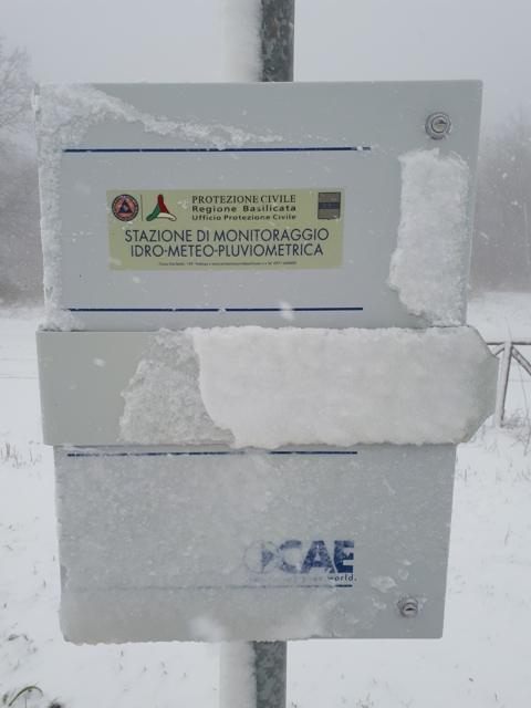
The Infrastructure, Public Works and Mobility department of the Basilicata region has invested in the "Enhancement and maintenance of the water and rain monitoring network in real time" project, which had two objectives:
- Allowing civil defense activities by means of a suitable and systematic service of network maintenance;
- Expanding their know-how to improve their capacity to face extreme events by means of simulated rain gauges and forecast data
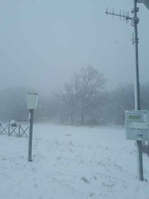
This is because the exceptional snow falls of February 2012 and the flood in the Metapontino area in March 2011 highlighted that the water and rain monitoring density is still insufficient, in terms of stations/km2.
FEATURES
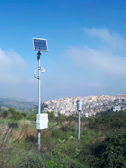
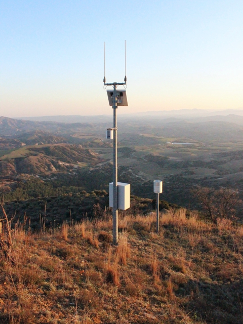
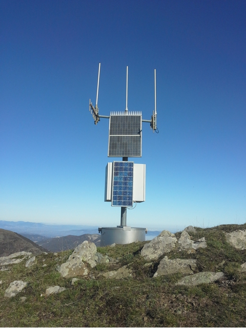
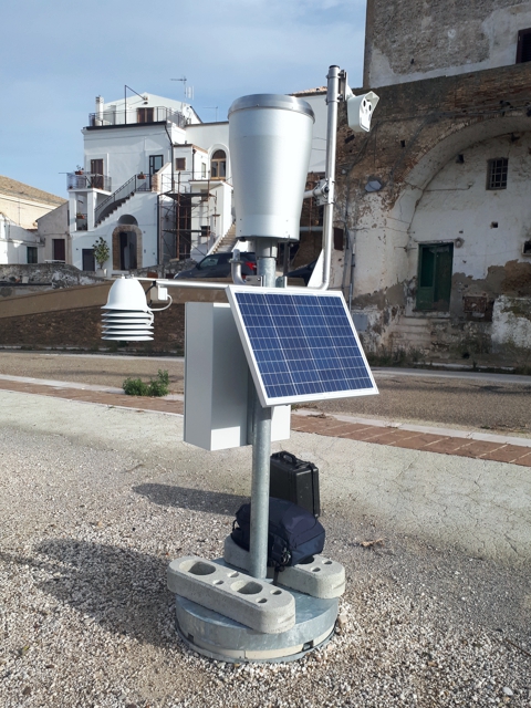
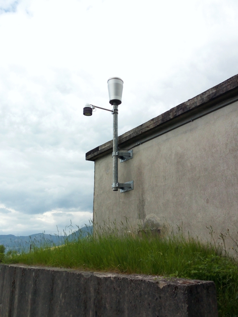
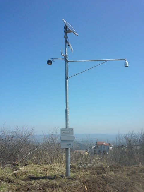
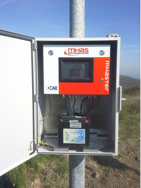
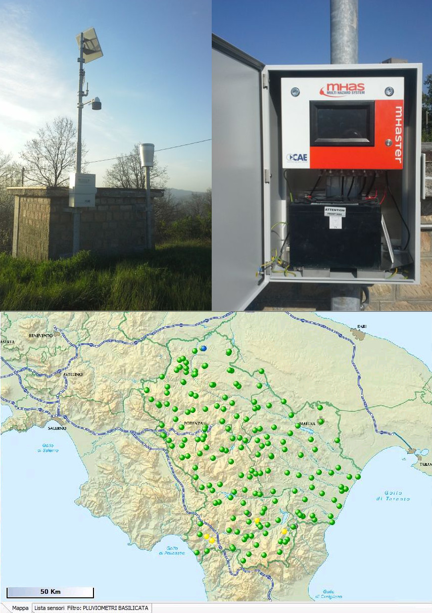
The regional water and rain monitoring network enhancement corresponded with a modernisation of the network. Indeed CAE supplied and installed stations of the new Mhaster model, which can be integrated into the existing SIR20 system, as well as operating in the MHAS system by CAE. In order to have redundancy of the communication system, the UMTS/GPRS module has also been supplied for remote measurement stations, operating in addition to the radio system, thus further increasing the operating availability and reliability of data acquisition.
The project in Basilicata is also characterised by particular customisation that differentiates the network from all other networks.
- The system has now forecasting capacities due to the ability of the software to manage future 72-hour forecast data. Therefore the system enables scaling the area data contained in forecast files with ".grib" extension and to associate the forecast measurements to point data from a station located within the Basilicata territory. Similarly to real time data, this procedure allows assessing the rain risk according to calculated thresholds; in this way the officers of the various municipalities and the operators authorised by the authorities can be alerted by sending alarm messages from Patrol.
- The system software generates rain interpolated spatial data for simulated rain gauges from real rain data. The simulated rain gauges are given values based on the rain gauge data validly measured with the Thiessen polygon method. Forecast data are read for these stations as well, available in Maps&View like the others, while Patrol is also set to send alarms based on these data.
The supply allows the Basilicata Civil Defense to timely alert each municipality of the region based on measured or simulated data in real time.
COMPOSITION
The expansion project integrated some existing stations and the radio network as well as supplying and installing new remote measurement automatic stations and creating 131 simulated rain gauges, one for each municipality of the Basilicata region, based on the 70 actual rain gauges located in the territory. Furthermore, the Potenza control station was enhanced to acquire and process data from the stations, by means of new software and hardware dedicated to receive, acquire, save, display and export data remotely transmitted in real time. The software used to manage the network and to acquire data is DATALIFE.