-
 NewsThe first Regional landslide monitoring network – ARMOGEO
The first Regional landslide monitoring network – ARMOGEO
January 2015
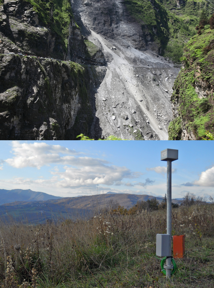
Lombardy Region assigned all geological monitoring tasks within the Region to the Geological Monitoring Centre of ARPA Lombardia (CMG). The Project, denominated Armogeo, was implemented by mean of a public tender concerning the maintenance and development of the regional geological monitoring system. The contract was awarded to CAE, as the leader of a Temporary association of companies (TAC) in 2015.
Thanks to this project, the first in Italy and in Europe having such ambitious objectives in this field, Lombardy region currently (2018) operates the largest landslide remote sensing network in Italy. This system covers several critical areas over the entire regional territory and it is controlled by a single regional entity, which receives updated data in near real time. The conceptual architecture of the system is consistent with those successfully operated with regard to hydrology and meteorology already for many years.
The Armogeo project included the design, supply and installation of 18 new geological monitoring networks (25 stations), the maintenance and remote maintenance of the existing water and weather network (36 weather stations) and the remote maintenance of the 18 existing landslide monitoring networks. A further element of distinction of the system is the massive use of local wireless networks (Wireless Sensor Network-WSN) to manage the geotechnical sensors distributed on several landslides.