-
 NewsPNRR – Hydrogeological Instability: Strengthening Landslide Monitoring
PNRR – Hydrogeological Instability: Strengthening Landslide Monitoring
June 2026
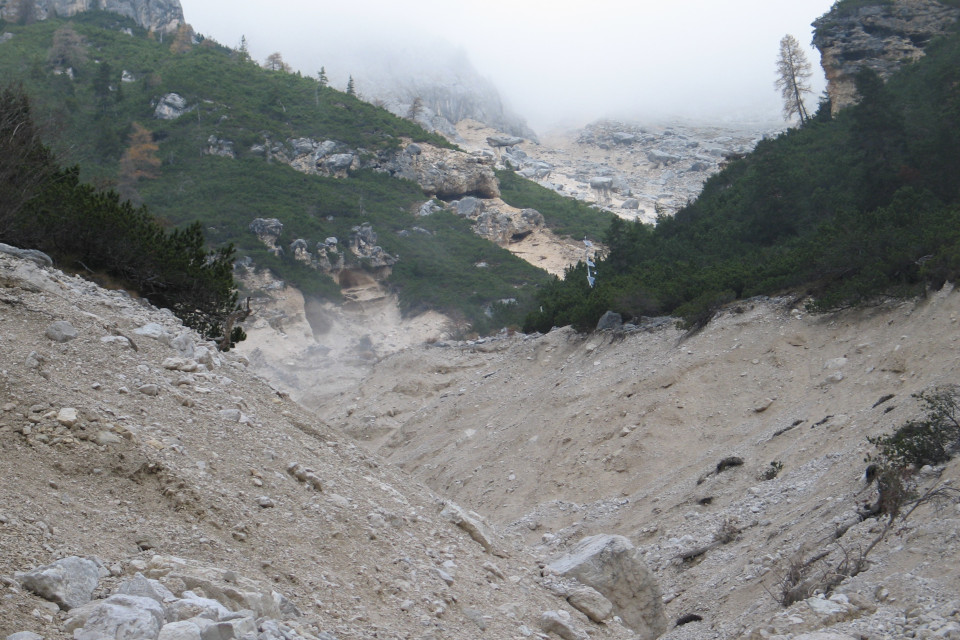
Italy’s National Recovery and Resilience Plan (PNRR) provides for the strengthening of environmental risk observation and forecasting capabilities through the implementation of the Integrated Monitoring and Forecasting System (SIM). The system is designed to integrate and enhance the existing monitoring networks across the country, improving the collection, processing, and sharing of data related to the main natural hazards. Among the infrastructures included in the project is the in situ landslide monitoring network, a strategic asset for the prevention of hydrogeological instability.
The national context clearly highlights the importance of this issue. Italy is one of the European countries most exposed to landslide risk. According to the Italian Landslide Inventory (IFFI), developed by ISPRA together with the Regions and Autonomous Provinces, more than 621,000 landslides have been mapped across the country, covering approximately 24,700 km², or 8.2% of the national territory. A significant share, around 28%, consists of rapid-moving landslides, such as rockfalls and rapid mud or debris flows, which are characterized by high velocities and considerable destructive potential. Despite the widespread occurrence of these phenomena, only a few thousand landslides are currently monitored using in situ systems.
To provide a comprehensive overview of active and decommissioned in situ monitoring networks across the country, ISPRA developed and implemented the National Registry of Monitoring Systems in 2021. The registry currently includes information on 1,222 monitoring systems.
With regard to their purpose, 79% of the systems surveyed in 2021 were intended for knowledge and observation purposes, while only 21% were also used for early warning and therefore operated in real-time.
As a result and considering the original objectives for which many of these systems were installed, data acquisition in numerous landslide areas was still carried out manually, while only a limited number of sites were continuously monitored.
Among the most commonly used instruments in landslide monitoring systems are inclinometers and piezometers, followed by topographic surveying equipment (total stations and GNSS instruments), crack meters, meteorological and rainfall monitoring instruments (rain gauges, thermometers, and snow gauges), extensometers, and in-place inclinometer or multiparameter chains.
Direct monitoring of landslide bodies provides essential data for understanding the evolution of these phenomena, including the definition of landslide extent and geometry, the assessment of pore water pressures and their changes over time, and the identification of potential warning thresholds to help safeguard people and assets.
Strengthening monitoring networks is therefore a key step toward improving knowledge of landslide processes and supporting forecasting and hydrogeological risk management activities at the national level.
For this reason, during the preparation of Investment 1.1 under the PNRR, coordinated by the Ministry of the Environment and Energy Security (MASE), ISPRA, the Regions and Autonomous Provinces, the National Working Group of the Italian Landslide Inventory (IFFI), and the Regional Environmental Protection Agencies (ARPAs) identified 135 priority sites for in situ instrumental monitoring. An additional 35 monitoring sites, located in Southern Italy, were also selected to be equipped with instrumentation and services for monitoring surface displacements.
For some of these sites, the project involves the installation of entirely new monitoring systems, while for others it focuses on automating or upgrading existing instrumentation. In several cases, the intervention also aims to establish fully operational early warning systems.
In line with the SIM framework, in situ landslide monitoring data will be made available to all institutional bodies responsible, in various capacities, for hydrogeological risk management. Early warning procedures, however, will continue to be managed and coordinated, according to their respective institutional responsibilities, with the Regional Functional Centres. These centres will also be able to use in situ landslide monitoring data to support the preparation of Hydrogeological Criticality Bulletins.