-
 NewsLandslide at CATASCO: monitoring is enhanced
Landslide at CATASCO: monitoring is enhanced
October 2025
The Comunità Montana Valli del Lario e del Ceresio has commissioned CAE to install a new monitoring system at the Catasco landslide site in the municipality of Garzeno (CO), in accordance with Regional Council Resolution XII/2635 “Regional Plan for the execution of maintenance work on watercourses, the improvement of unstable slopes, and the implementation of monitoring systems in mountain community areas”.
The area involved has been affected by landslides in the past, and a series of deep instabilities can still be observed, which has resulted in damage to buildings and especially to masonry and road works. It is evolving slowly but continuously, and geotechnical monitoring has identified sliding surfaces up to tens of metres below ground level.
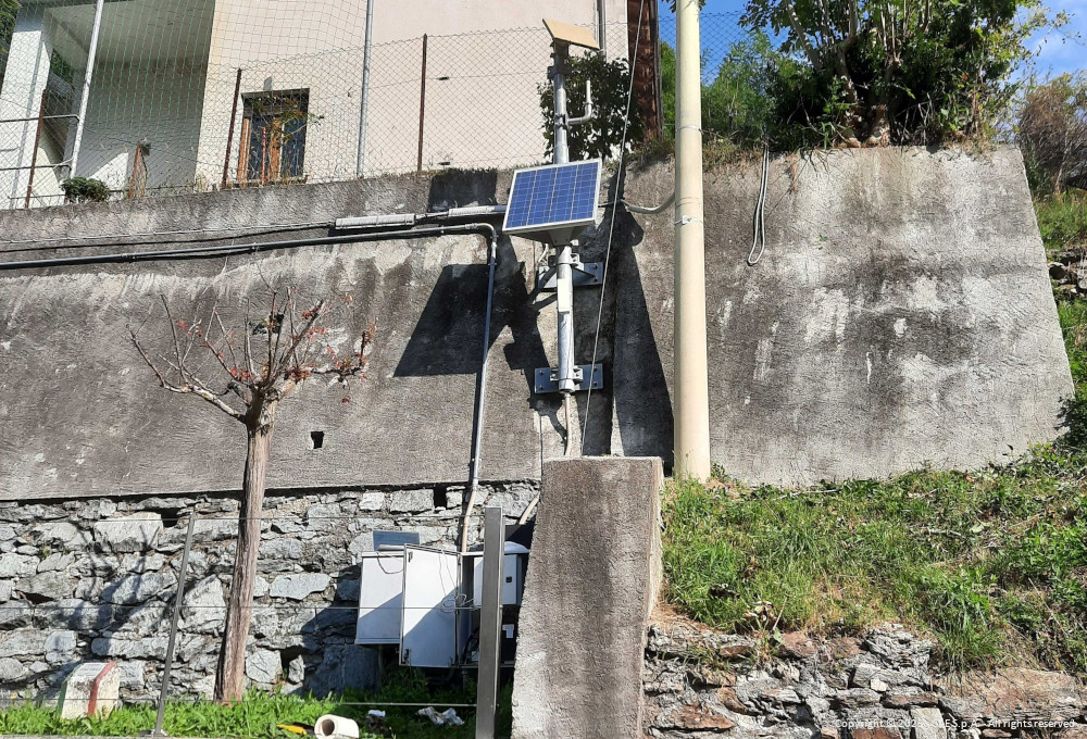
Garzeno and Catasco’s geotechnical monitoring system belongs to the instability subject to permanent monitoring active 24 hours a day for civil protection purposes, under the management of the Regional Centre for Landslide Monitoring and Instability (CRMFD) of ARPA Lombardy.
An initial system was installed from October 2016, then reinforced in 2017 as part of the ARMOGEO Project, and consisted of the following instrumentation:
- 23 topographic datum points and 1 automatic total station;
- 2 inclinometer tubes equipped with TDR cable (IN1 and IN2);
- 8 automatic biaxial probes distributed in the inclinometer tubes;
- 1 automatic piezometer;
- 2 data collection and transmission stations with GPRS and satellite technology;
- 1 swivelling camera installed on the shelter of the automatic total station;
- 2 manual inclinometer tubes.
The observation network is supplemented by a meteorological station that is part of the network managed by ARPA Lombardia, and is located at an altitude of 581m along the road from Garzeno to Catasco. The station is equipped with a rain gauge, thermometer and air humidity gauge.
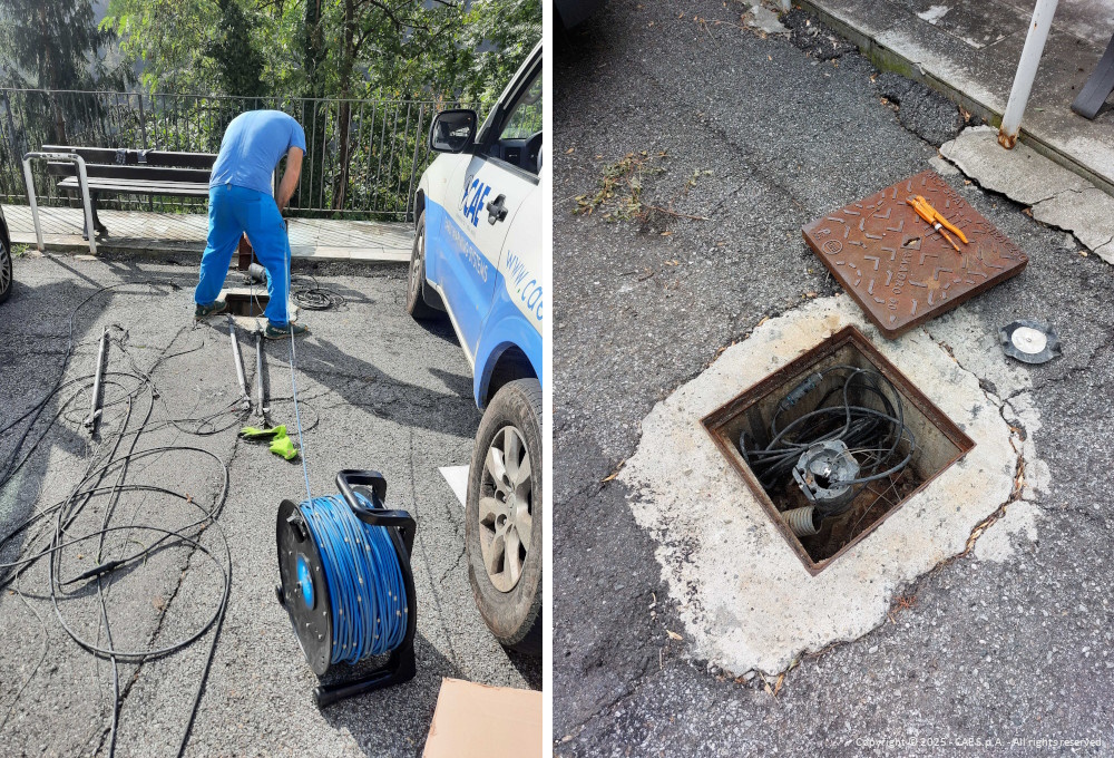
The site concerned is affected by slow-moving instabilities of the order of a few centimetres per year, which are constantly and progressively changing. Over time, excessive deformation of the ground, and consequently of the tubes, no longer allowed the instrumentation to be positioned correctly after each maintenance, and measurements were stopped.
Back to the index