-
 NewsInnovation: Datalife Platform
Innovation: Datalife Platform
March 2025
In September we launched it at the Meteorological Technology World Expo in Vienna and it was a great success among all visitors, today the Datalife Platform is ready to go into action at 100% in our customers' operating centers.
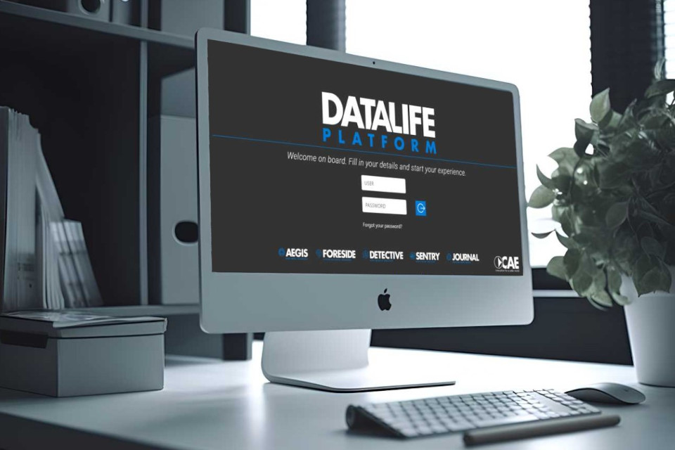
DATALIFE PLATFORM is an open, configurable information system, a unique and comprehensive tool that allows users to manage every detail of monitoring networks and the measurement databases they generate. It’s a modular, intuitive and user-friendly product.
It facilitates the understanding of ongoing events, supporting the Administration in managing risk situations and also in the dissemination of alerts. It allows you to validate, store and publish historical series. It also makes all data and metadata available through simple and secure REST web services.
Access to the new platform occurs through a Single Sign On authentication: an authentication process that allows the CAE platform user to access multiple modules with a single set of credentials.
The DATALIFE PLATFORM web platform is designed to ensure an easily usable, efficient, scalable, reliable, robust central unit. Furthermore, it is among the specialized platforms present in the sector of hydrometeorological monitoring systems for civil protection purposes that guarantees the highest level of IT security, being periodically subjected to Vulnerability Assessment and Penetration Test through OWASP tools.
Here are some more details on the main modules.
FORESIDE is an open supervision and control system, designed to configure and manage networks of stations in complete autonomy. The interface is designed to meet all the needs of an user, in full compliance with openness and accessibility criteria.
AEGIS allows you to view in real time, even at a geo-spatial level, territorial information and from field sensors, in particular:
- all stations of the network represented on 2D maps;
- different overlapping geographic information layers that can be imported in open formats such as WMS (Web Map Service);
- all stations in a tabular representation, accompanied by photographic images;
- all elements, i.e. the sensor network, by means of a list;
- the graphical representation of the performance of one or more elements of the network.
Thanks to the “Slide show” function, it is also possible to view the evolution of the situation over a selected period of time in relation to public area information, such as forecasts or radar images.
These features are enriched by reporting features such as: the ability to apply filters, summary pages, export functionality in standard CSV format.
DETECTIVE autonomously analyzes and validates millions of data per day, determines their quality, detects anomalies and creates reports on the functioning of the network.
The types of checks performed are multiple: logical, of temporal consistency, cross-referenced with other quantities of the same station and cross-referenced with other stations, etc. and allow to offer an increasingly precise and punctual service.
SENTRY is designed to manage alerts using the standard CAP format. The software disseminates alerts following the exceeding of thresholds set by the Administration, through various means of communication. Sentry is equipped with a reporting system intended to track the operation of the software, events, the forwarding of alarm notification and much more besides.
JOURNAL: allows you to dynamically create statistical reports of a monitoring network, Hydrological and Meteorological Annals.
DATALIFE PLATFORM is made up of various modules and is continuously updated to constantly improve its functionality in response to the most specific users’ needs.
Back to the news index