-
 NewsBasilicata Region: modernization and upgrading of the hydrometeorological network
Basilicata Region: modernization and upgrading of the hydrometeorological network
July 2026
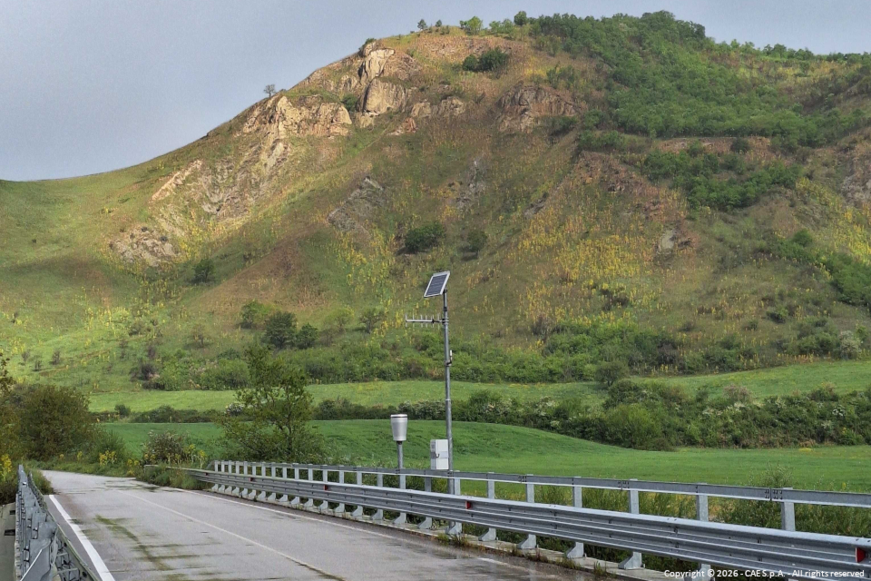
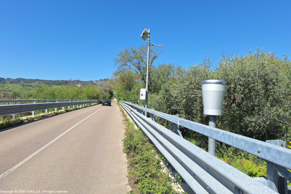
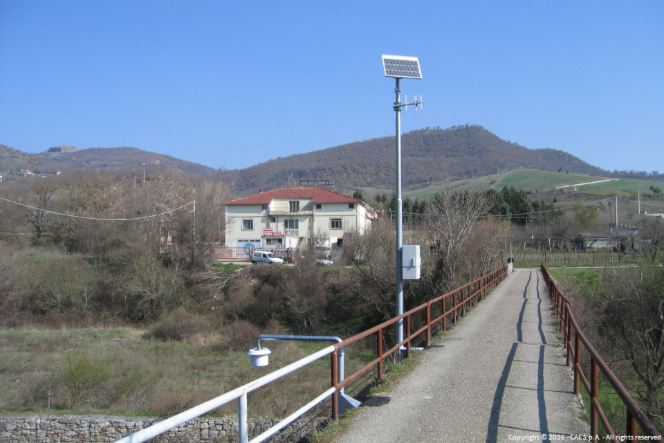
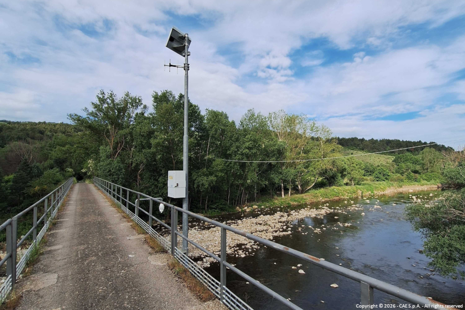
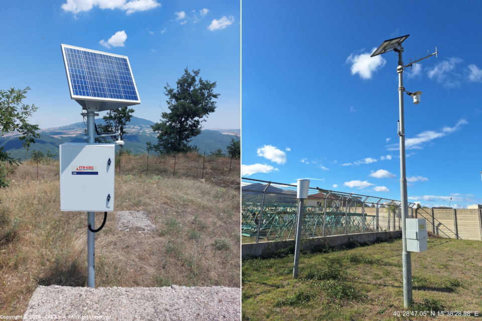
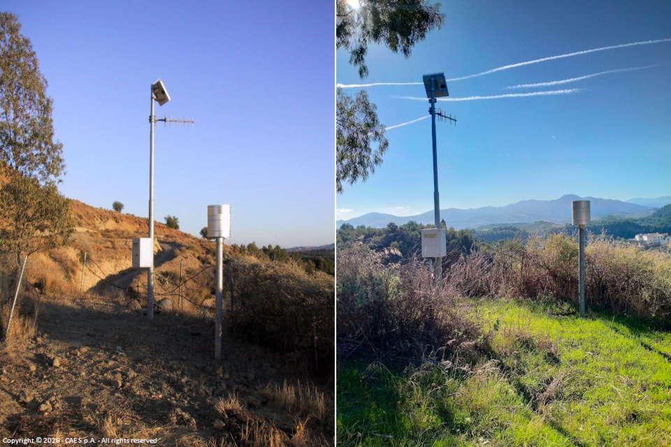
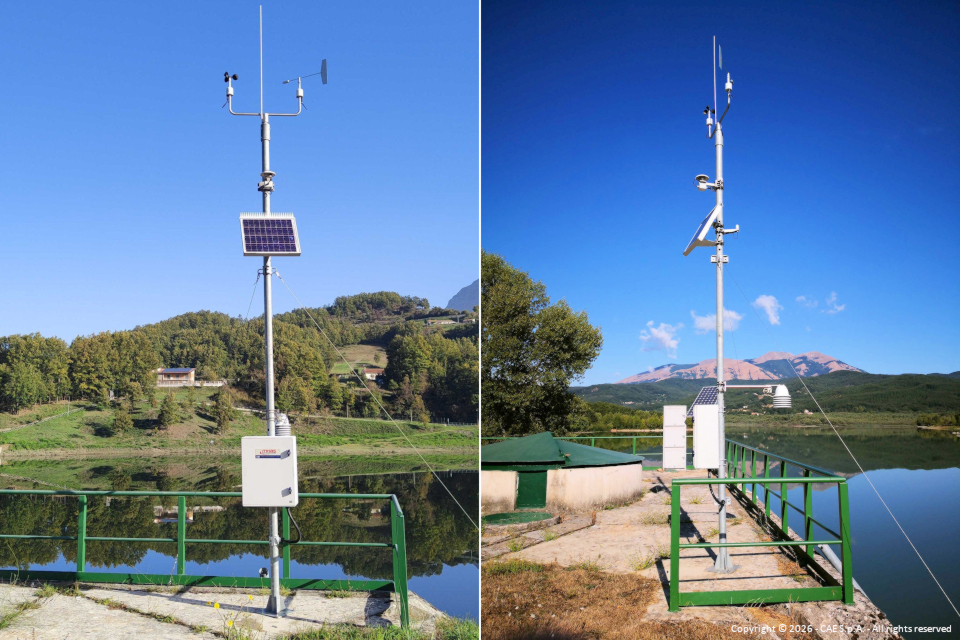
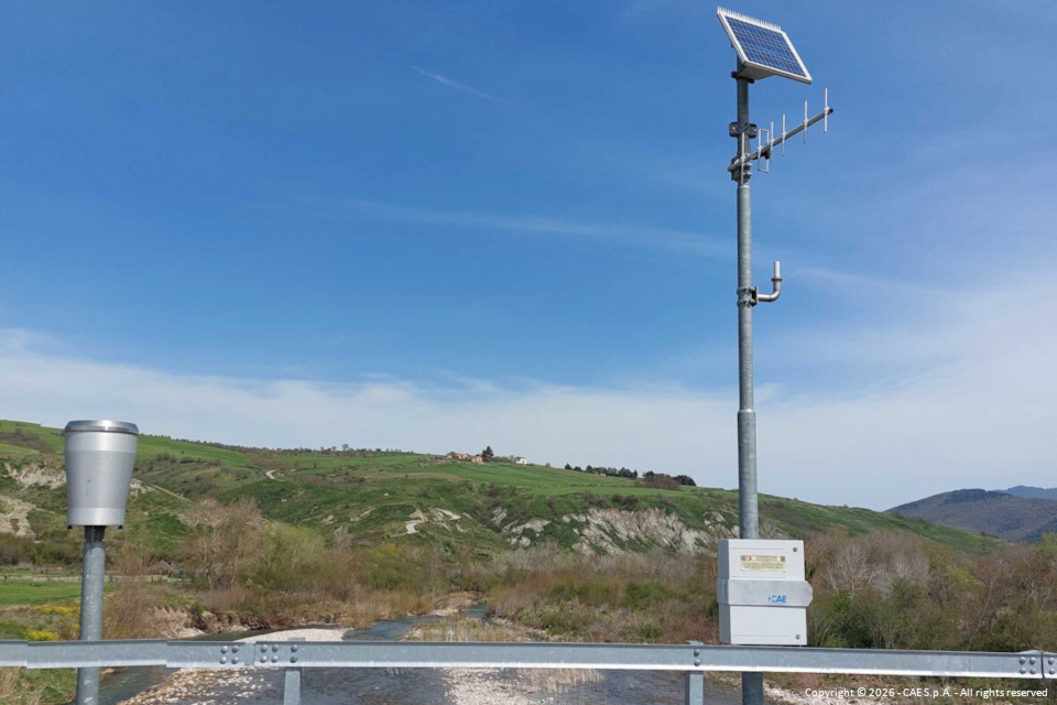
CAE was awarded Phase 2 of the tender called by the Basilicata Region for the technological modernization and upgrading of the current near real-time hydrometeorological monitoring network and its integration with the microwave backbone of the regional digital network, along with the simultaneous hardware and software modernization and implementation of the Decentralized Functional Center (CFD). The project is part of the broader evolution program of the regional civil protection risk monitoring system, funded under the Basilicata Regional Program ERDF ESF+ 2021-2027, Specific Objective 2.4, with co-financing from the European Union, the Italian State, and the Basilicata Region.
The flood and meteorological events that affected the regional territory in recent years highlighted the need to increase the density of monitoring stations and extend instrumental coverage to areas currently less monitored. The project was therefore conceived with the objective of strengthening observation, monitoring, and forecasting capabilities for meteo-hydrological phenomena, improving the reliability of acquired data and the operational continuity of the system. These interventions will allow for more effective support of alerting and emergency management activities by the civil protection system, while ensuring maximum accessibility and usability of the produced information, in line with the principles of data transparency and openness promoted by current legislation.
The project consists of three types of activities:
- Upgrading;
- Technological adaptation;
- Integration/optimization.
Interventions include the installation of new thermo-pluviometric, meteorological, and hydro-pluviometric stations, the integration of existing stations with new sensors, the upgrading of the UHF radio network, the activation of new repeaters, and integration with the regional microwave network. Furthermore, the relocation of certain stations and transmission nodes is planned to optimize territorial coverage. As an innovative feature, a mobile station on a trailer was requested and will therefore be supplied to facilitate monitoring, even temporary, in specific locations when certain events occur.
Proposed technologies include: the Compact Plus datalogger; RAEVO radiomodem; PG10 and PG10R rain gauges; THS thermo-hygrometers; ULM30/N snow depth sensors; WLR/L radar level sensors; surface velocity measurement and flow calculation sensors, among many others.
The network must meet requirements for reliability, robustness, and operational continuity to allow civil protection activities to be carried out according to required standards. To ensure maximum reliability, the RAD (Dynamic Adaptive Routing) service will be activated. RAD goes beyond the concept of a multi-path transmission network by applying artificial intelligence techniques to the routing management used by the UHF radio network, dynamically and continuously optimizing transmission paths to enhance overall system reliability using patented technology.
Last but not least, the project will also cover the Control Center through an update of the server infrastructure and the implementation of the DATALIFE Platform for integrated data management, alarms, and system oversight features. Thanks to the new software suite developed by CAE, built on innovative technologies including an isolated module architecture, it will be possible to run selective updates and isolate potential anomalies without impacting the entire system, ensuring high levels of reliability and 24/7 operational continuity.
The modularity of the architecture also makes it possible to separate operational environments from maintenance environments, allowing corrective, evolutionary, and updating tasks to be performed without interrupting service delivery and guaranteeing full operational capability even during technical interventions.
The benefits derived from this project will directly impact the entire regional civil protection system and indirectly benefit the region's overall population and territory through improved forecasting and monitoring of critical events, resulting in reduced response and rescue times.