-
 CAE MAGAZINE n.36 - English Version - April 2025Expansion and modernisation of the GNSS network co-located with the national tide gauge network
Expansion and modernisation of the GNSS network co-located with the national tide gauge network
CAE was awarded the ISPRA tender to supply instruments and equipment for topography, hydrography, oceanography and hydrology, and services for the expansion and modernisation of the existing GNSS network, and was also awarded installation services, including high-precision levelling measurements, full-risk maintenance, and assistance in managing the GNSS network co-located with the national tide gauge network.
The project is financed with funds from the National Recovery and Resilience Plan (PNRR) mission 2 "Green Revolution and Ecological Transition" - component 4 "Protection of Land and Water Resources" - measure 3 "Safeguarding Air Quality and Territorial Biodiversity through the Protection of Green Areas, Soil and Marine Areas" investment 3.5 "Restoration and Protection of Seabed and Marine Habitats" [M2C4-3.5]
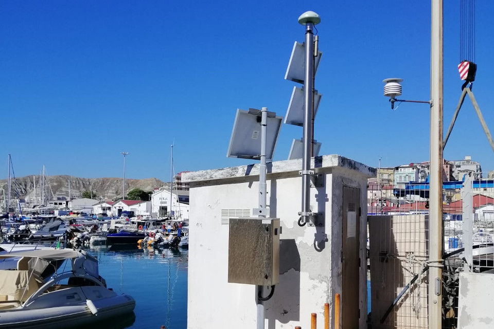
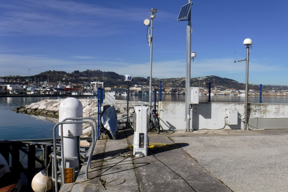
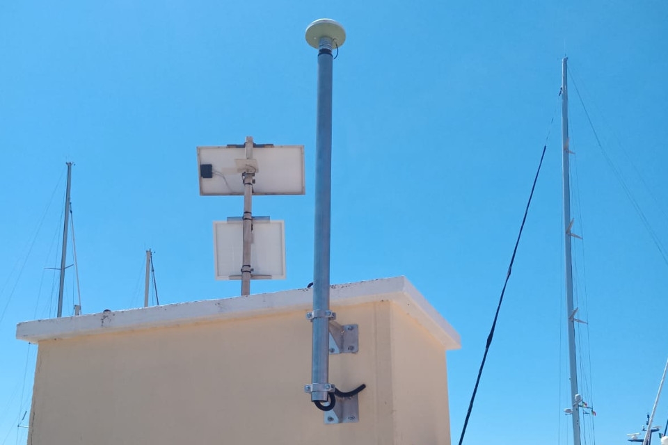
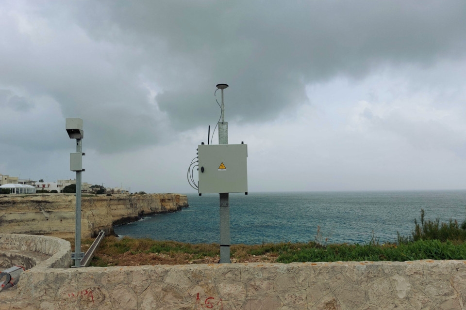
The GNSS network co-located with the national tide gauge network consists of stations located in port areas along the coast, with transmission of the positioning data collected to the network acquisition centre located at the ISPRA headquarters in Rome. For this reason, special attention will have to be paid at the design level to the risk of material corrosion typical of the marine environment.
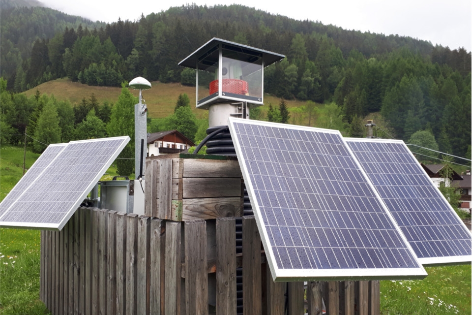
CAE has specialist expertise and a proven track record in the use of GNSS technology, as demonstrated by the cases of geological monitoring for the Lombardy Region under the CMG, geodetic monitoring in Val di Vizze for the Brenner tunnel, at the tide gauge stations along the Romagna coast, and for landslide monitoring in Apulia.
The following activities will be carried out under the contract:
- provision of 19 new GNSS systems and modernisation of 8 existing systems;
- determination of the exact height difference between the tide gauge bracket, the relevant station references and the GNSS antenna base of each station;
- connection of the ISPRA levelling lines made at the tide gauges to the nearest IGM datum point;
- GPS measurements aimed at determining the geographical coordinates of each datum point.
The maintenance service will keep the equipment in perfect working condition, and distinguishes between preventive and corrective maintenance, supported by constant remote maintenance to guarantee the highest service quality. It can also provide round-the-clock assistance if the administration is subject to an emergency situation.
Back to the news index