-
 CAE MAGAZINE n.10 - English Version - May 2019Flood Forecasting and Warning System in the South-Central provinces of Vietnam
Flood Forecasting and Warning System in the South-Central provinces of Vietnam
Floods in Vietnam represent a constant threat that occur throughout the year in different areas of the Country, affect the safety and well-being of the population and cause enormous economic loss, which in turn hamper the social development.
Minimizing flooding damages is among the main target of all Vietnamese institutions concerned, especially the Ministry of Natural Resources and Environment (MONRE). The National Hydro-Meteorological Service (NHMS) of Vietnam has the responsibility to upgrade the specialized telecommunication system with advanced technologies to ensure the timely and accurate data collection and dissemination of all forecasting information for flood and typhoon preparedness and prevention in Vietnam.
The Project: “Improving the Flood Forecasting and Warning System in Vietnam - Phase II” in the South Central region is the successor to, and promote the achievements of, the previous “Improving the Flood Forecasting and Warning System in Vietnam - Phase I” project, implemented by CAE in 2009 in the Middle Central Region.
The present Project is therefore implemented as the most effective way to accomplish and modernize the Flood Forecasting and Warning System of Vietnam, under the leadership of MONRE, as an essential part of the Master Plan on the Strategy of Natural Disaster Preparedness and Prevention in Vietnam.
Second phase will be deployed in the Main River basins located in the South Central Vietnam provinces of Binh Dinh, Phu Yen, Khanh Hoa, Ninh Thuan and Binh Thuan.
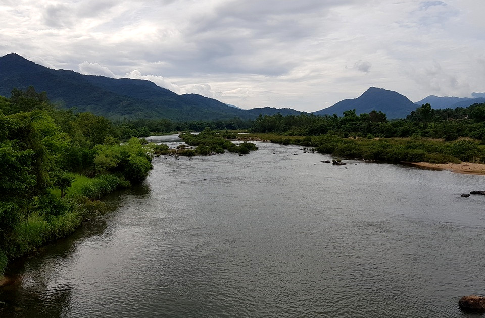
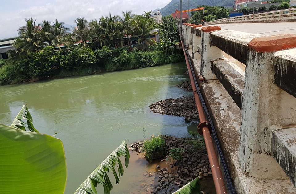
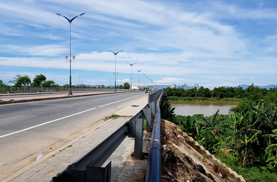
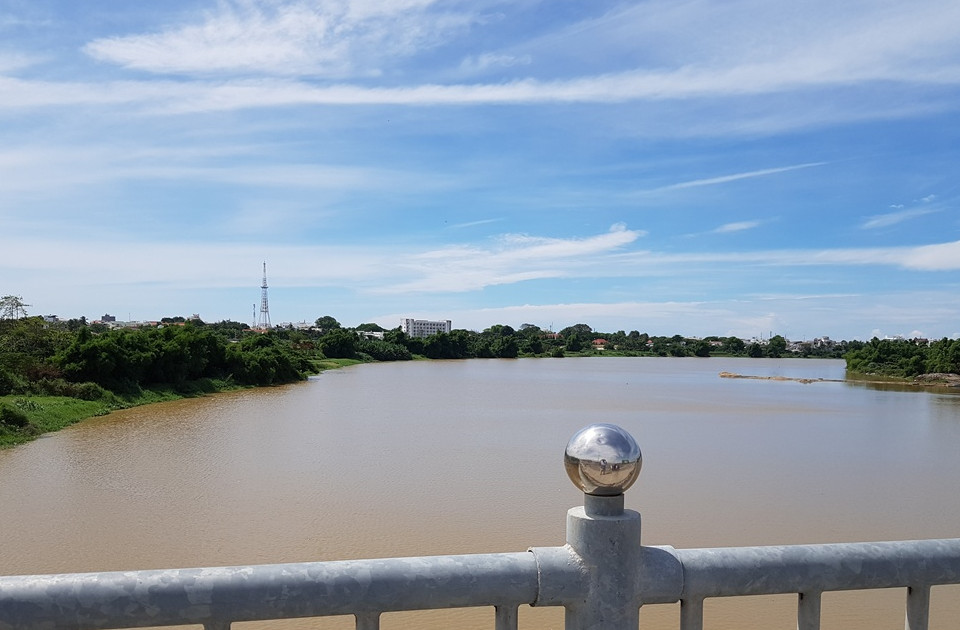
There are several rivers along the South Central region, most of them short and very steep, originated form Highlands and west-east oriented. The steepness and shortness of the rivers are the main reasons for rapid changes from droughty to flooding state, and vice-versa.
In order to achieve the objective of quality and robustness, which has always been the outstanding feature of CAE’s monitoring systems, the detailed site design, the supply and installation of reliable and precise equipment are strictly required, together with highly reliable and flexible dedicated software and necessary elements to provide the client with a system that is capable of:
- Improvement of surface water and rain monitoring system;
- Improvement of data collection and processing system;
- Improvement of data communication system;
- Improvement of weather forecast and early warning systems;
- Improvement of preparedness of local staff.
The system will be composed of:
- n. 13 Meteorological Stations, measuring wind direction, wind speed, temperature, humidity, air pressure, rainfall and rain intensity
- n. 17 Hydrological Stations, measuring water level, rainfall and rain intensity
- n. 83 Rain gauge Stations, measuring rainfall and rain intensity
- n. 1 Oceanographic and meteorological station, measuring wind direction, wind speed, temperature, humidity, air pressure, water level, wave, water temperature, salinity, rain fall and rain intensity.
- n. 1 National hydro-meteorological, flood forecasting and warning centre
- n. 1 Regional hydro-meteorological and flood forecasting and warning centre
- n. 4 Provincial flood forecasting and warning centre
- Flood Forecasting and Warning System
Considering the complexity of this project, in addition to the supply and installation of a comprehensive technological system in the territory, the contract includes also the training activities and the supply of highly value-added services, CAE Magazine will continue to update you over the next few months about the project’s developments.
Back to the index