-
 WATER AUTHORITY IN SARDINIACase history
WATER AUTHORITY IN SARDINIA
Automatic monitoring system of water quality in sardinian artificial lakes
REQUIREMENTS
The project related to the water quality monitoring system in Sardinia, began following a water supply protection program started in year 2000 and approved in 2006 (see D.L. 152/2006). This act empowers relevant Authorities to create regulation for the conservation of water supplies and supervision of the qualitative properties of drinking water.
CAE together with ENAS (Ente Acque della Sardegna) and ARPAS has created a network of monitoring systems, which comply with legal requirements, and enable the parts to analyze accurately the criteria that define the quality of the water.
COMPOSITION
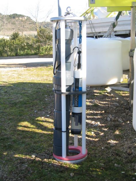
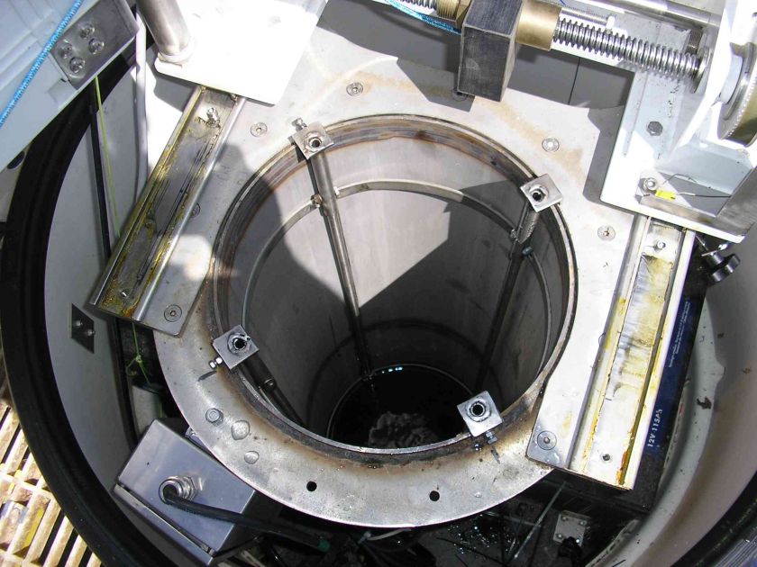
It is a known fact that the quality of water in eutrophic lakes (almost all of Sardinian lakes) is a variable element, both in terms of time and vertical space (water masses at different depths can have different characteristics). The ongoing project that CAE is overseen in the most important reservoirs, involves the installation of automatic monitoring systems in continuous operation as well as manual monitoring systems in order to support the Local Authorities for the planning of the optimization of daily water supply distribution.
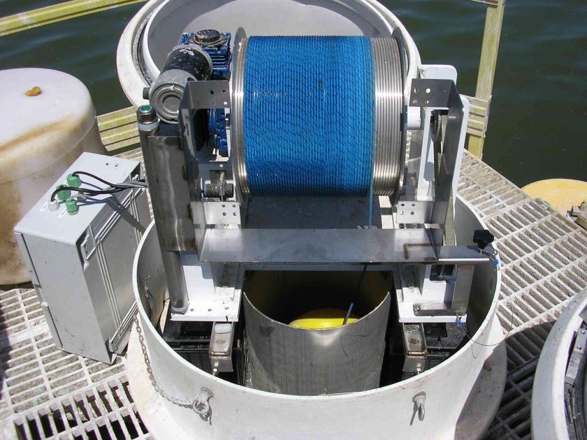
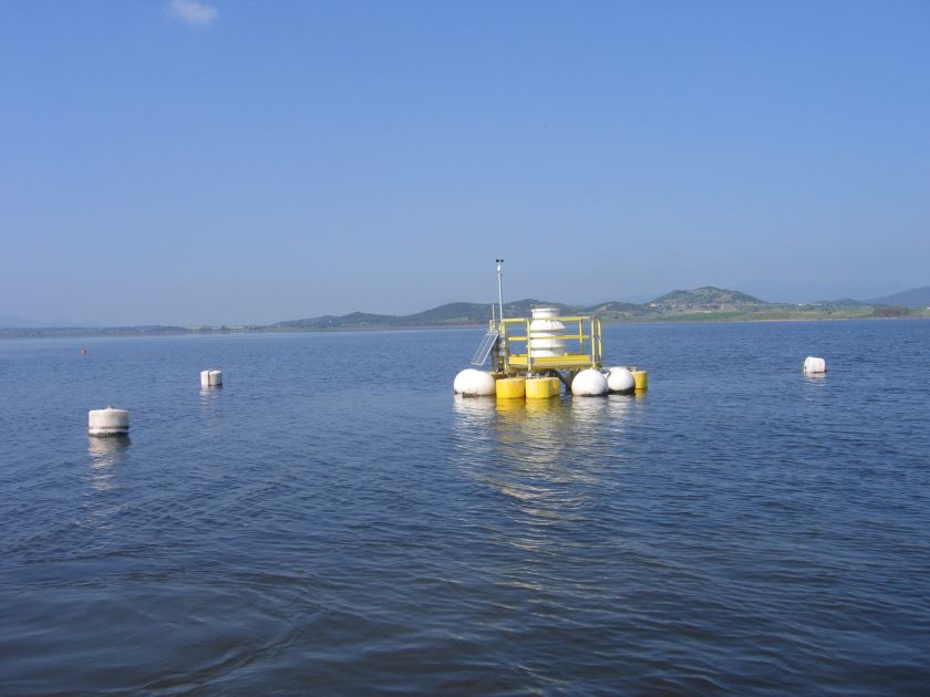
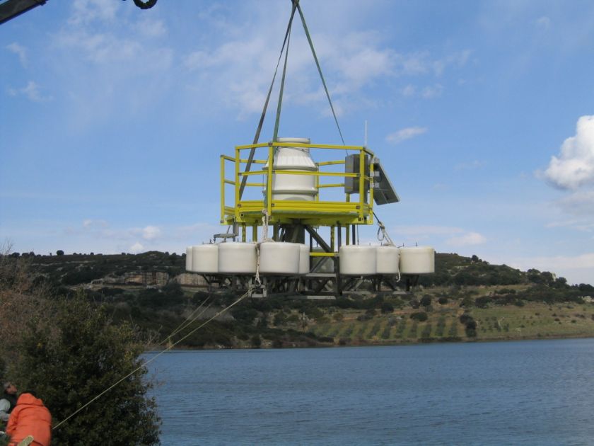
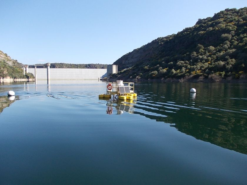
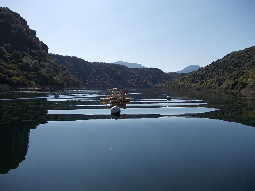
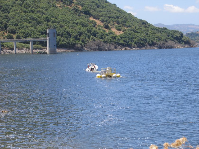
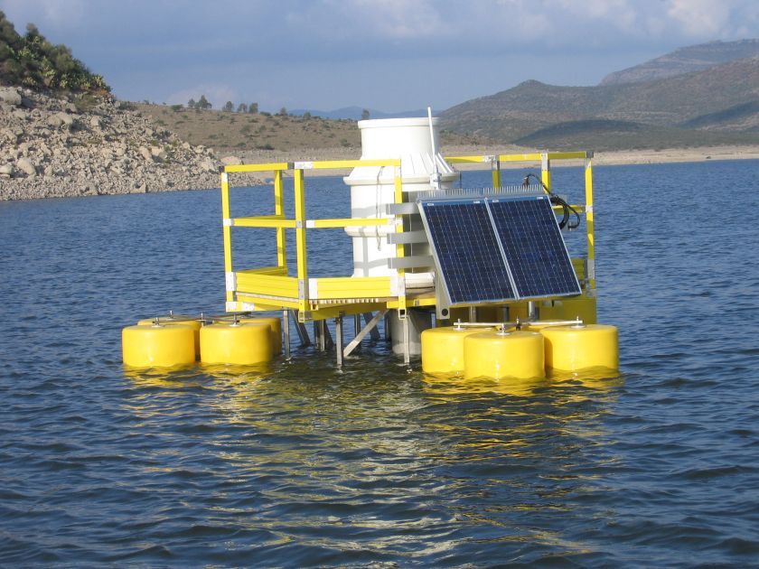
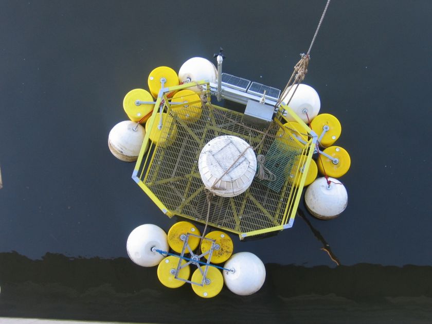
The first stage of the project has foreseen the creation of the first profiling floating station, also known as raft, on the Flumendosa basin.
10 lakes have been initially tested, in order to obtain data such as the most qualitative water sampling depth on a daily base.
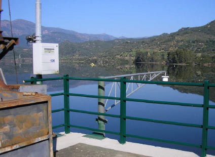
Each basin has been equipped by a weather station installed next to the bank, by a floating station or raft installed in the middle of the lake and by a local monitoring system.
The equipment and devices of each lake are locally connected via UHF Radio, and set up to transmit via satellite real-time data to the CED in Cagliari.
This project has been progressively extended to include 18 lakes, equipped by CAE with profiling floating stations. They make up the regional monitoring network and are dislocated: Bau Pressiu, Bidighinzu, Cedrino, Cixerri, Coghinas, Cuga, Flumendosa, Is Barrocus, Mannu a monti Pranu, Monte Lerno, Mulargia, Posada a Maccheronis, Punta Gennarta, Rio Leni, S.Lucia Tortoli, Sos Canales, Temo, Tirso.
The implementation of this project has been followed by an optimization of the distribution of the stations in the region, so that to achieve a better coverage in terms of water measurements, and a consequently significant improvement of the data information.
CHARACTERISTICS
This system generates over a thousand data per day per basin. The information is used to safeguard basins, to plan of the water supply management, and to monitor the water quality on the surface. The system, before its deployment, has proven efficiency higher than 99% in relation of real time data.