-
 BRENNER BASE TUNNELCase history
BRENNER BASE TUNNEL
Geodetic Monitoring in Val di Vizze
REQUIREMENTS
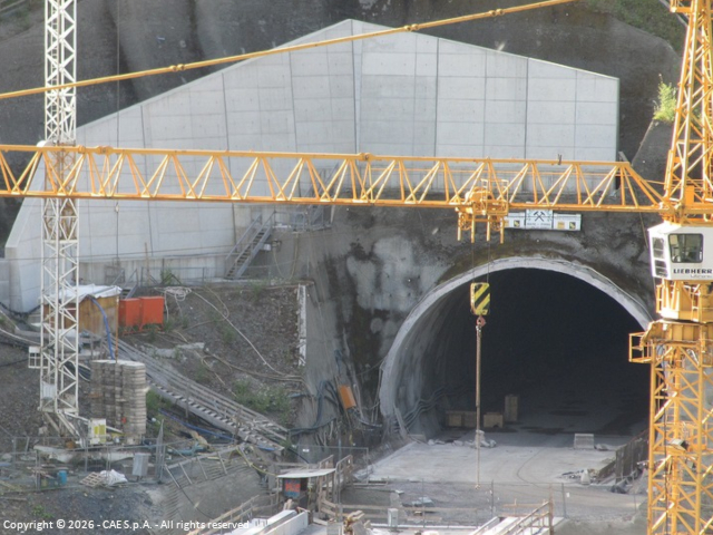
On April 29, 2004, Decision No. 884/2004/EC of the European Parliament and of the Council launched a major underground railway project known as TEN – Axis No. 1 Berlin–Verona/Milan-Bologna-Naples-Messina-Palermo, with a total length of 2,200 km. Part of this north-south connection includes the section forming the central segment of the Munich-Verona railway corridor, known as the Brenner Base Tunnel. Extending over more than 55 km, the tunnel will connect Innsbruck (Austria) and Fortezza (Italy) and is part of a system of tunnels totaling approximately 230 km, which will cross the Alps and include two main tunnels, exploratory adits, cross passages, and access tunnels. This project has been possible thanks to the European Union and, above all, the agreement between Italy and Austria.
In this large-scale context, the need for a geological and geodetic monitoring service in the Val di Vizze clearly emerged, also due to the specific characteristics of the area.
FEATURES
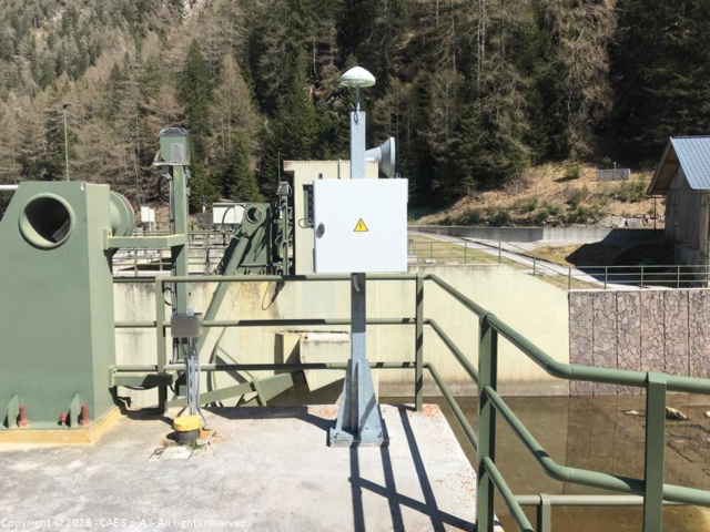
The area hosts an aquifer composed of quaternary glacial deposits, bounded downstream by a rocky threshold where the Novale hydroelectric dam is located. Studies have identified this area as potentially subject to subsidence of up to several decimeters.
In this context, CAE won a tender issued by BBT SE, the European company responsible for the construction of the Brenner Base Tunnel, for the development of a geodetic monitoring service in the Val di Vizze.
The system was designed to detect subsidence phenomena caused by potential drainage of underground water bodies related to the advancement of the tunnel beneath the valley. The objective is to identify possible impacts on surface structures and infrastructure.
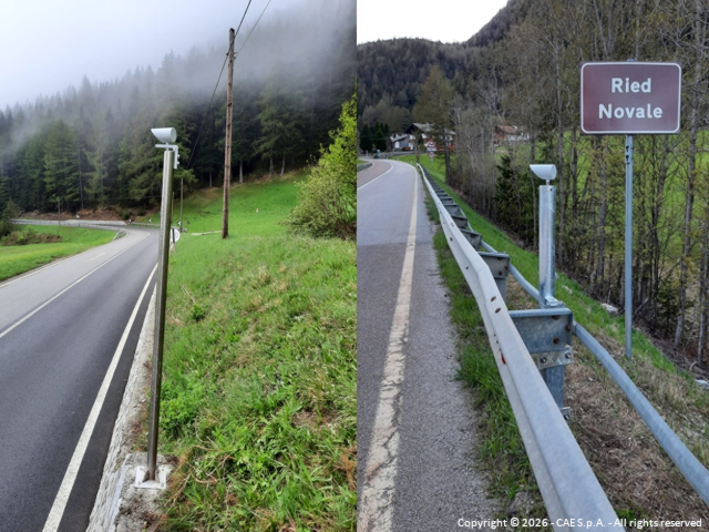
The technologies used, namely GNSS receivers, are capable of providing data which, once processed, allow the determination of 3D distances (in space) between the various measurement points, referenced to a local receiver considered stable (Afens). Each GNSS receiver determines its position relative to the satellite constellation and transmits it to the control center via GPRS network, where the data are processed together with those from other technologies included in the system.
To detect possible anomalies, automatic data are compared with predefined thresholds for both absolute and differential displacements over time and space, with reference to strategic surface structures.
COMPOSITION
The geodetic monitoring system in the Val di Vizze area consists of:
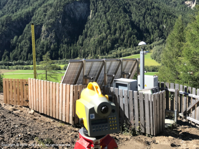
- 2 robotic total stations (TPS) with 59 targets, configured to ensure continuous operation, monitoring 70 points (prisms) on an hourly basis;
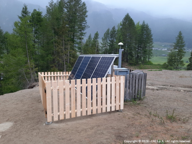
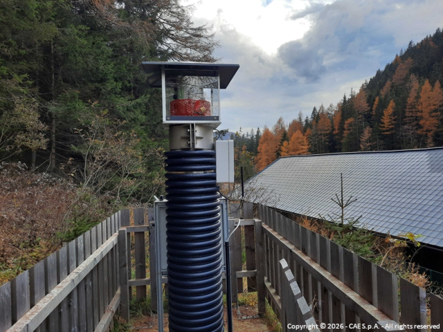
- 5 GNSS receivers, configured for continuous operation and real-time data acquisition with transmission via GPRS to the data processing center;
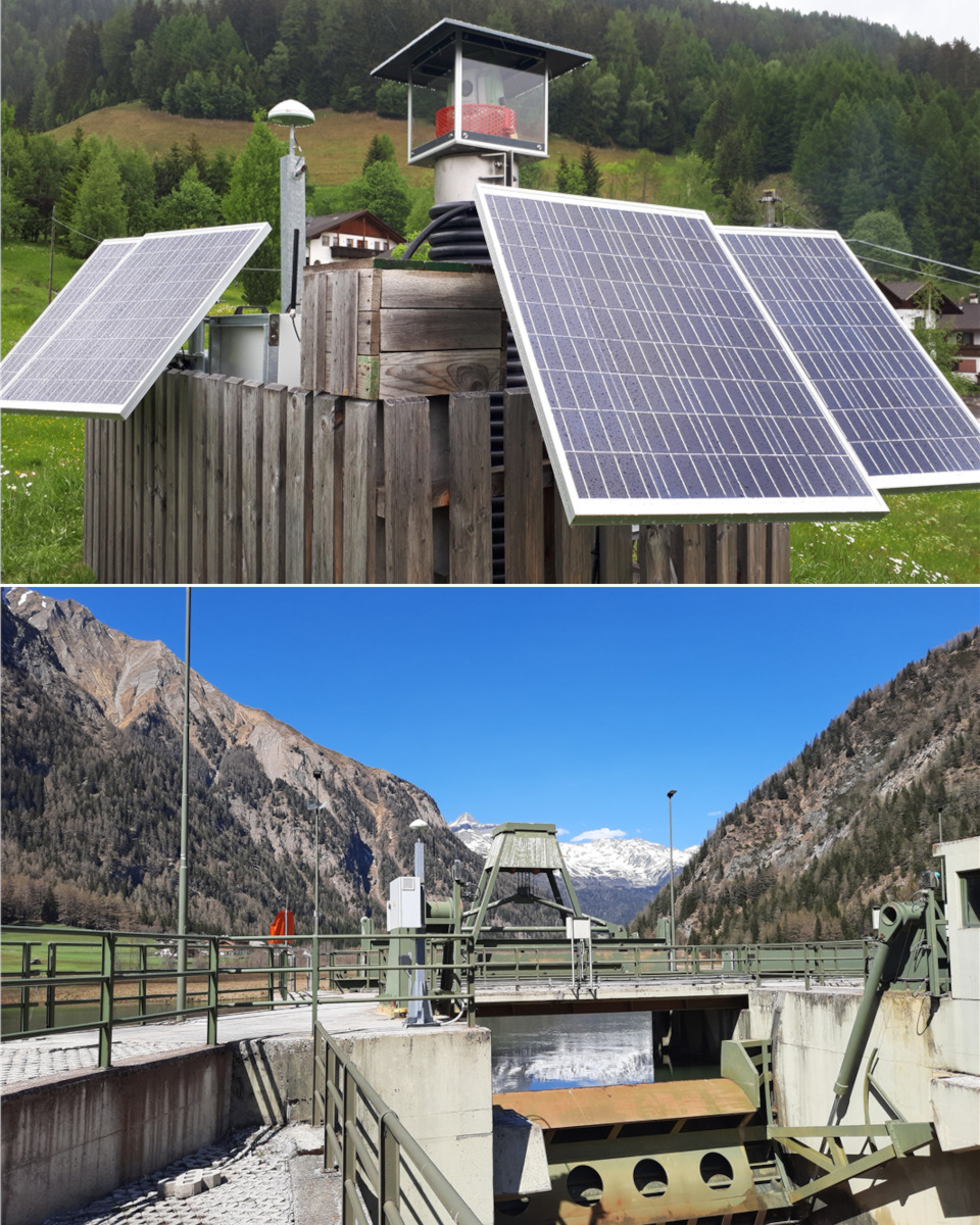
- 2 photovoltaic systems to provide power to one GNSS station (Fussendrass) and one robotic total station (Caminata);
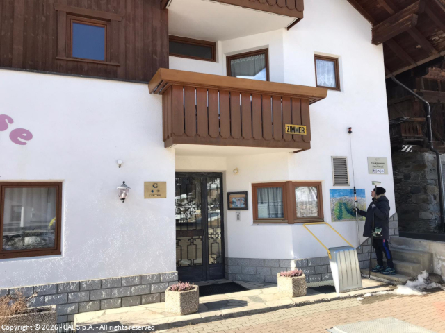
- 1 precision leveling loop of at least 1 km in length within the village of Caminata.
For each measurement point observed by the total stations, the results of a daily session were automatically provided within the system. For each prism, a value was calculated as the median of the 24 measurements acquired during each hour.
The project also included, every six months, independent verification through high-precision geometric leveling to validate the results of the automatic measurements.