-
 NewsSicily: the Regional Department of Water and Waste invests on reservoirs
Sicily: the Regional Department of Water and Waste invests on reservoirs
October 2023
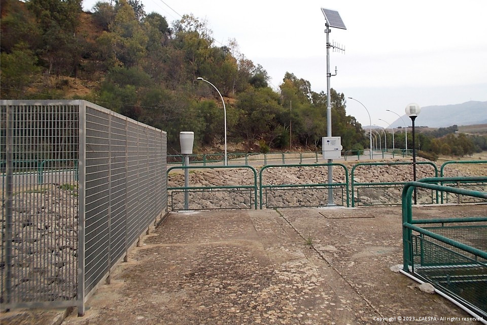
CAE has been awarded the tender for the supply of the goods and services necessary for the realization of the project of “Implementation of the hydrological detection system using telemetry of the San Leonardo, Jato and Scanzano basins to face water emergencies in Sicily"; planned to integrate the existing regional monitoring network, related to the Decentralised Functional Centre - HYDRO implemented by the Civil Protection Department of the Sicilian Region (DRPC).
The investment, expected by the Regional Department of Water and Waste, is financed within the Pact for the South of the Sicilian Region, FSC 2014-2020.
In a historical period in which in Sicily it has become of primary importance to face the problems related to continuous water emergencies, the optimal and predictive management of the available reservoirs and volumes, both for drinking water purposes and for irrigation purposes, has become crucial.
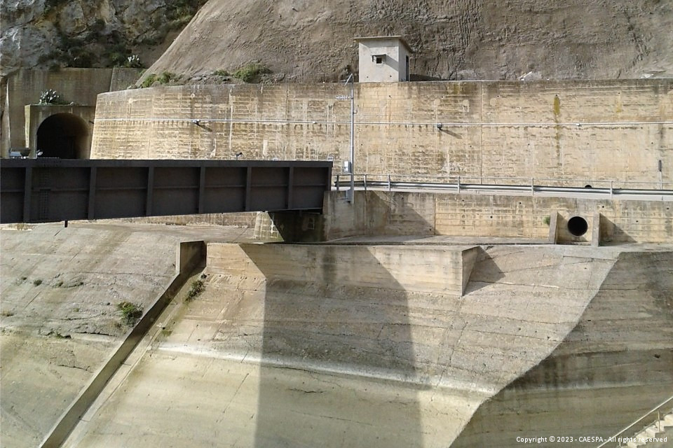
The interventions in the project have been defined on the basis of the need to evaluate in real time the consistency of the inflows and consequent outflows, in order to improve the effectiveness of the control, also from the point of view of the management logic of the floods and the phenomena of reservoir silting.
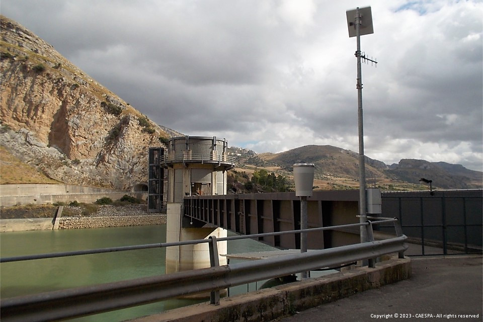
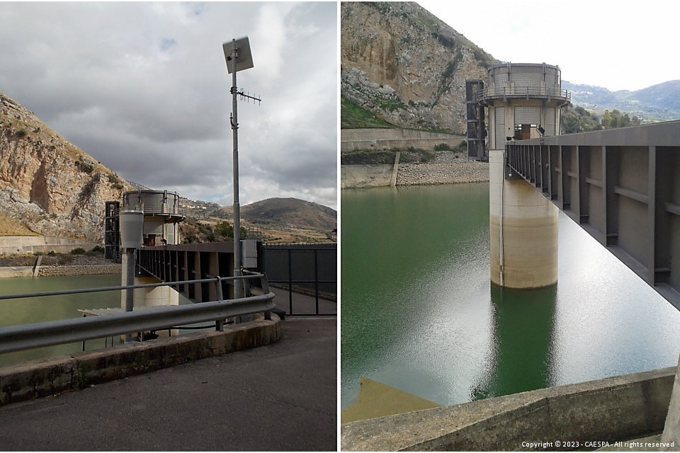
The objective is pursued by providing for the integration of some existing stations belonging to the regional telemetry network, responsible for the detection of meteorological and hydrological parameters throughout the territory, and to add new ones, in particular in the three pilot basins, aimed at improving the monitoring of outflows upstream of these barriers, allowing managers to better conduct discharge and water accumulation policies.
Supply and installation of:
- 5 thermo-pluviometric monitoring stations;
- 3 hydro-pluviometric monitoring stations;
- 4 hydrometric monitoring stations;
- 3 hydrometric sensors to integrate existing stations;
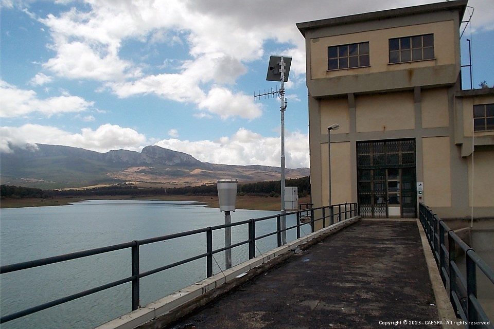
- 3 operational data reception centres to be installed at the watch houses of the respective dams;
in addition to the restoration of 2 existing monitoring stations.
At the sections where the installation of a new hydrometric sensor is planned, the activities necessary for the construction of the water spillway ladder. In each of the sections indicated the following activities will therefore be carried out:
- determination of the sea level quota of the hydrometric zero through the materialization of the foundations, the creation of a GPS reference network and the execution of measurements, calculation of the orthometric quotas and determination of the difference in height between the foundation and the hydrometric zero;
- topographic survey of the riverbed geometry with total station;
- application of a mathematical model for the definition of the permanent motion profile and definition of spillway ladders;
- flow rate measurements for the calibration of the permanent motion model.
Among the technologies used there are CompactPlus datalogger, PG10 rain gauges, THS thermohygrometers, WLR radar hydrometers, GNSS instrumentation, total stations, ADCP, reels.
A fixed station directly connected to the Civil Protection server, both via ADSL and the Regional Radio Network, will be installed at each operating centre in the three Watch houses , through dedicated Radio panels, which will make them independent in the management and acquisition of data in real time.
These stations will count with Software specially developed at the basin scale, for the modelling of inflows/outflows, through the study of the hydrographic network and three-dimensional analysis of the reference area.
Hydrological modelling involves the use of ground-based data for short-term forecasts as well as simulated weather model data for medium-term forecasts.
The development will conclude with a procedure capable of directly reading the outputs of the weather forecast models (precipitation and temperature) at a limited area and transforming them into a spatial and temporal scale suitable for hydrological simulation.
With the implementation of this project, the set of information available to the managers of the water basins in question will make it possible to administer with greater awareness the foreseeable incoming volumes and therefore to regulate any discharge works.
Back to the news index