-
 ARPA LOMBARDIACase history
ARPA LOMBARDIA
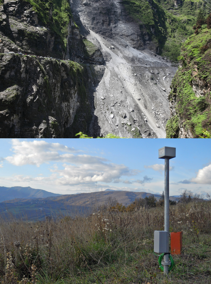
Lombardy region: one network to monitor 36 landslides
REQUIREMENTS
Until recently, the situation pertaining monitoring the hydrogeological issues within Lombardy was fragmented, due to installation by local authorities of several monitoring systems to reach out the individual civil defense necessities. This situation did not ensure the efficiency of these networks, as each system was stand-alone and had different operating characteristics; therefore, measured data could not be integrated in a system for overall monitoring wides area. For this reason, Lombardy Region created the Regional Law no. 5 of 31.07.2013, assigning all geological monitoring tasks within the Region to the Geological Monitoring Centre of ARPA Lombardia (CMG), overcoming that technological and management fragmentation which was created over time. The purpose of CMG is not only to provide technical-scientific prevention and control support to civil defence authorities in areas of environmental risk, but also progressive acquisition of various geological monitoring systems existing in the territory of Lombardy, up to that time managed by different entities, ensuring that they are adequate and technologically appropriate, for the final purpose of developing a single integrated regional network.
Project Armogeo was developed within this context, a tender to maintain and to develop the regional geological monitoring system awarded by CAE as part of a Temporary Association of Companies (TAC).
FEATURES
Thanks to this project, first in Italy and in Europe having such ambitious and wide-ranging goals, we can say that Lombardy region network is the largest landslide remote sensing network in Italy, widely diffused over the regional territory and controlled by a single regional entity, in line with the direction already followed for years in the field of water and weather monitoring.
The complexity of Armogeo requires open and interoperable technologies to allow full integration of different systems and technologies, newly supplied or already existing; Mhas system by CAE fullfill this necessity.
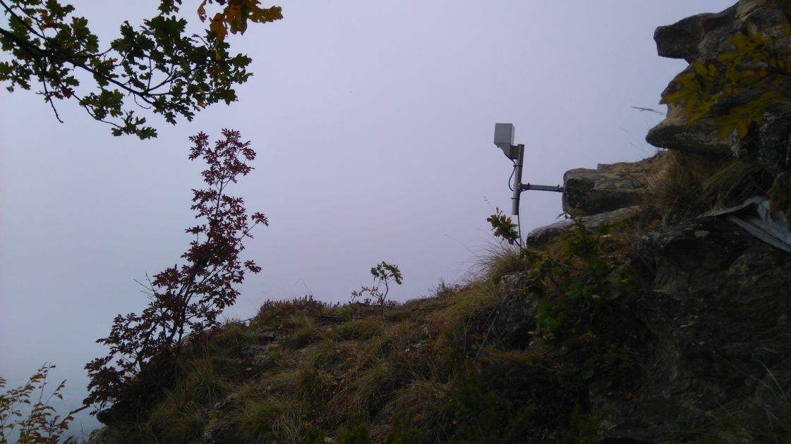
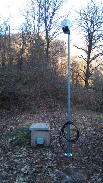
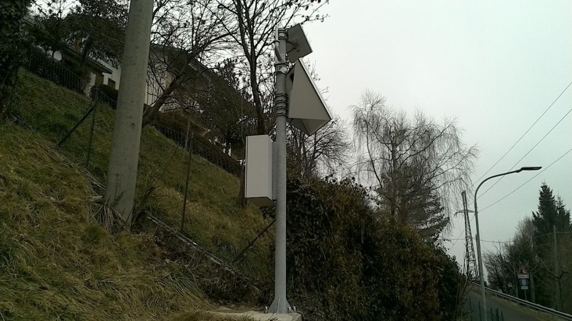
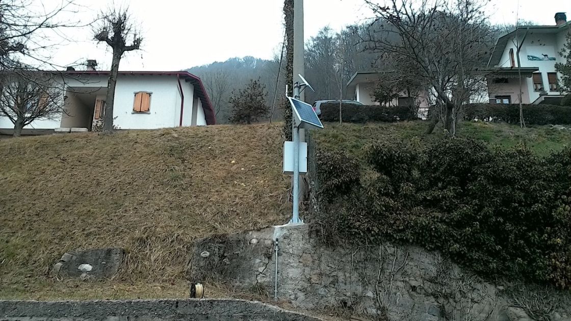
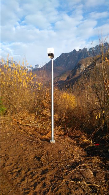
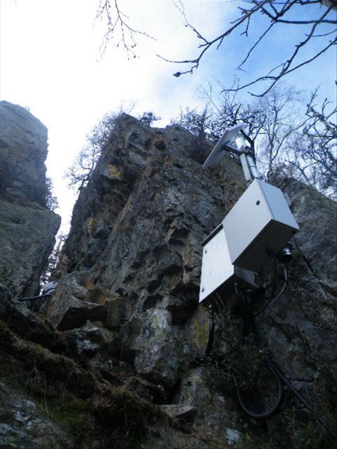
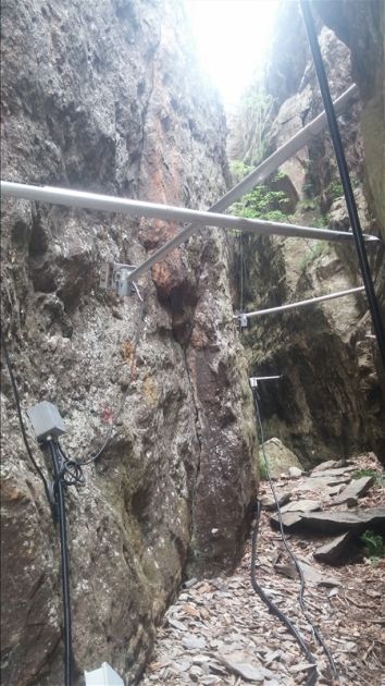
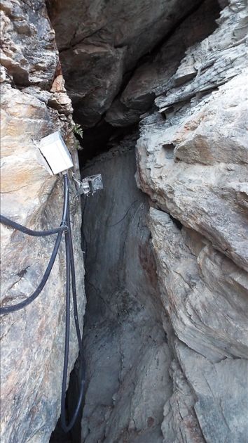
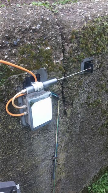
The monitoring system includes manual and automatic systems to collect weather data (rain, levels) and geotechnical data (movements, slips, falls).
In addition to on-site monitoring, the project also includes further activities to prepare new installations, such as drilling and probes, manage alert procedures, such as geotechnical modelling of instability and consequent assessment of alert thresholds caused by some parameters (rain, levels, movements).
COMPOSITION
The Armogeo project involves supplying and installing 18 geological monitoring networks which include a total of 25 stations fitted with traditional geotechnical sensors (clinometers, inclinometer chains, piezometers, etc.) GPS and total station systems.
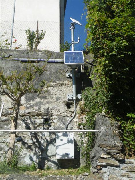
CAE, the head company of the TAC that won the project, is also responsible for the maintenance and remote maintenance of the existing hydrometeorological network comprising 36 weather stations with sensors to measure environmental parameters (rain gauges, thermometers, snow meters, barometers, etc.) and for the remote maintenance of the 18 existing landslide monitoring networks.
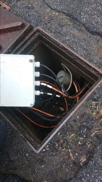
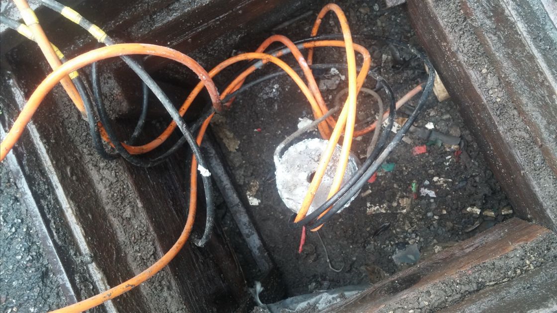
Data transmission for dialog between stations and central control take place through redundant communication systems, mainly GPRS with satellite back-up. A radio transmission system based on the DMR standard protocol is used for some hydrometric stations. A further element of system's distinction is the massive use of local wireless networks (Wireless Sensor Network-WSN) to manage the geotechnical sensors distributed on several landslides. These networks use wireless nodes called W-Master and W-Point, which distinguish the solution offered by CAE not only for monitoring landslides but also banks, structures or any other elements to be monitored.